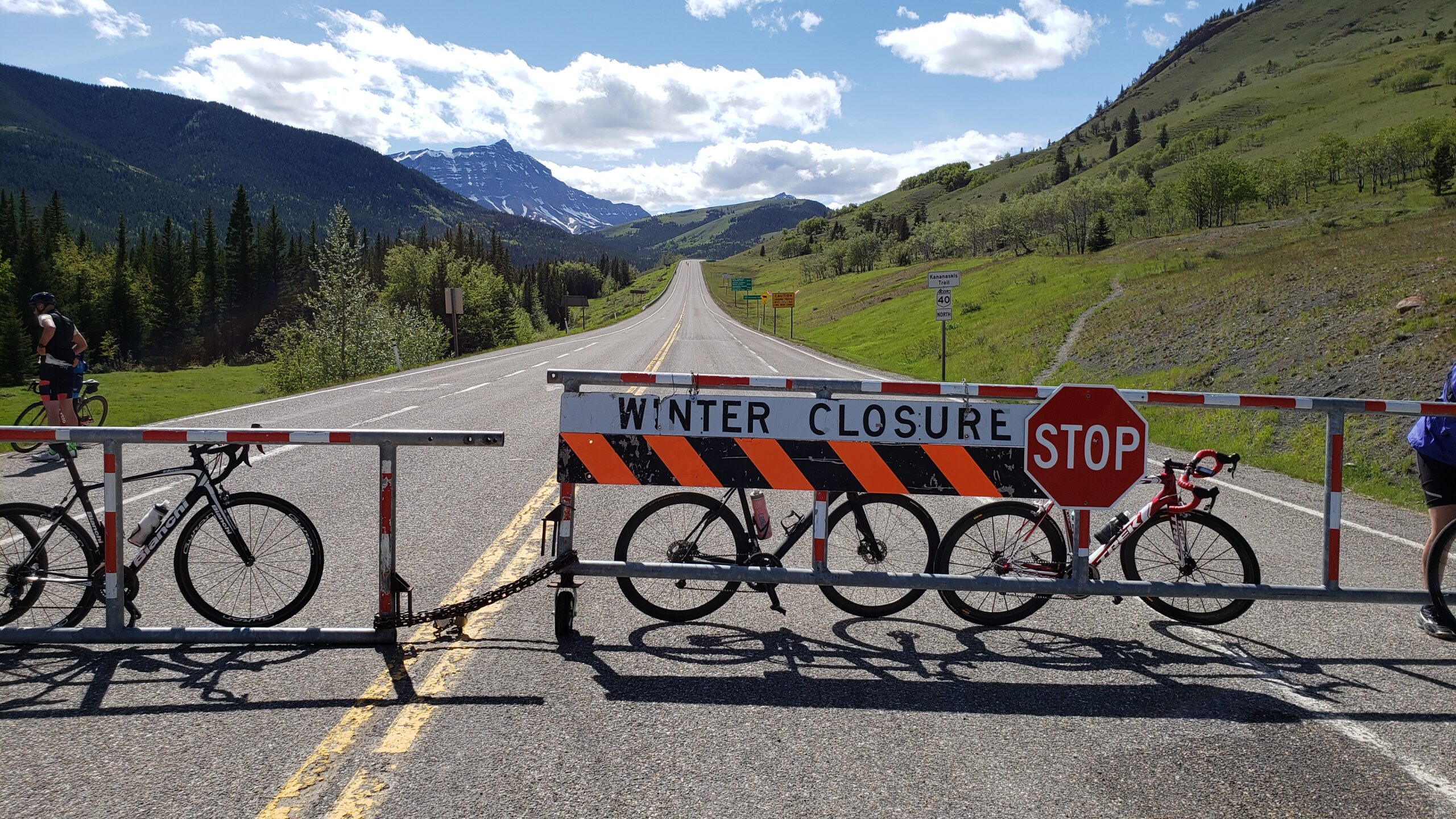
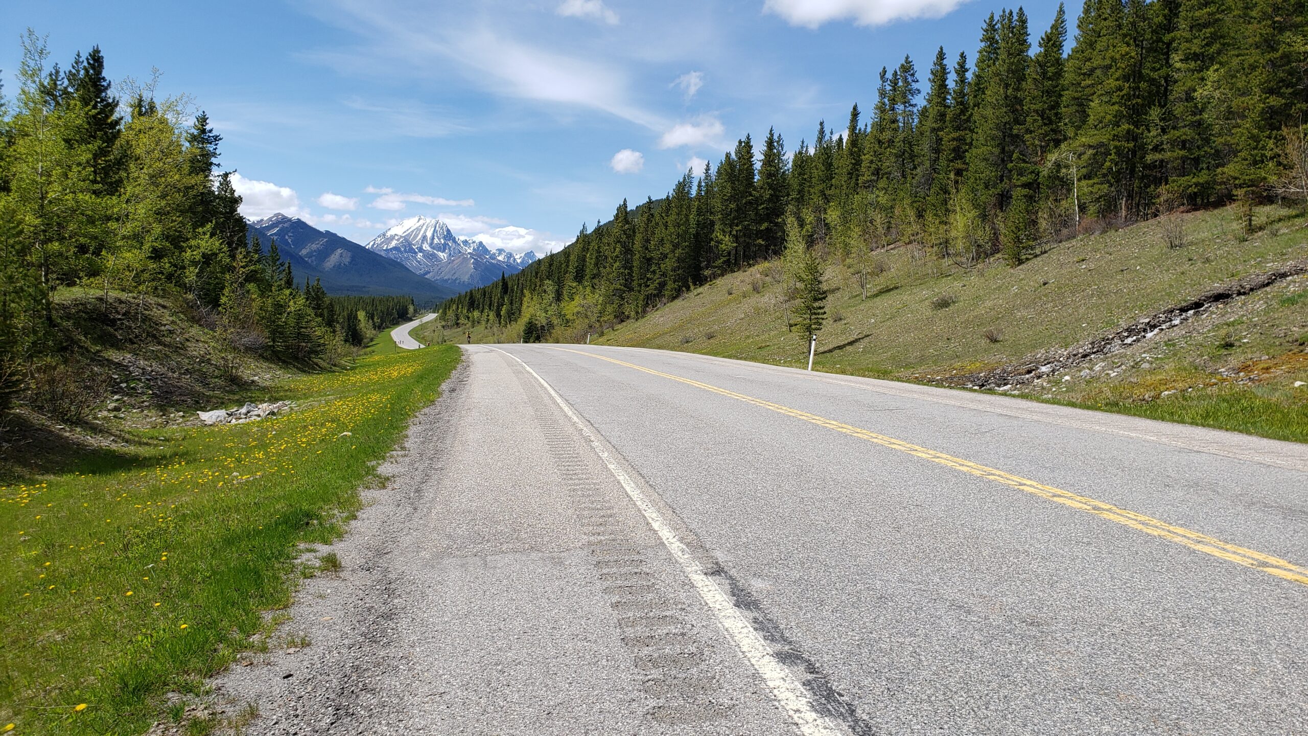
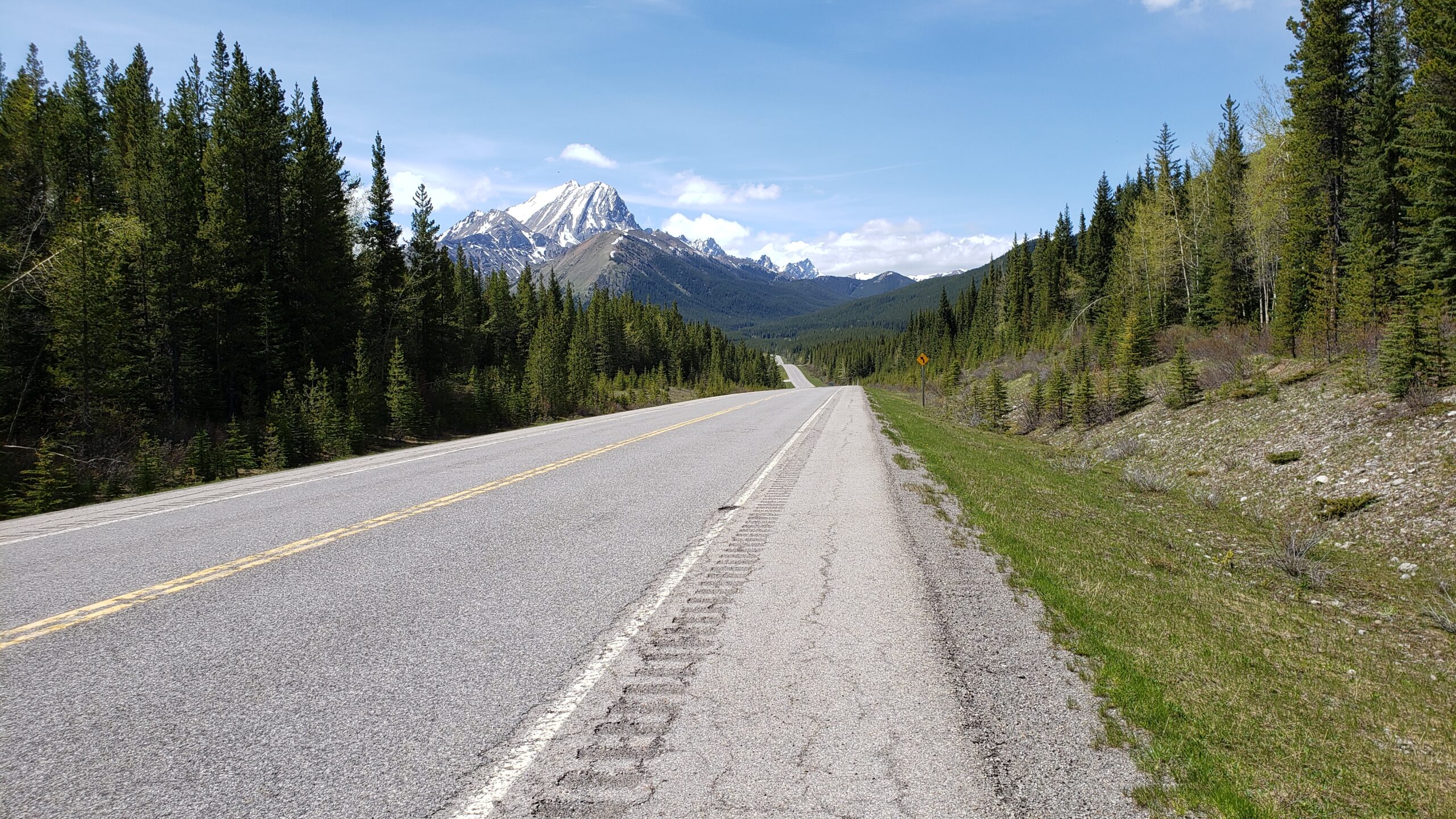
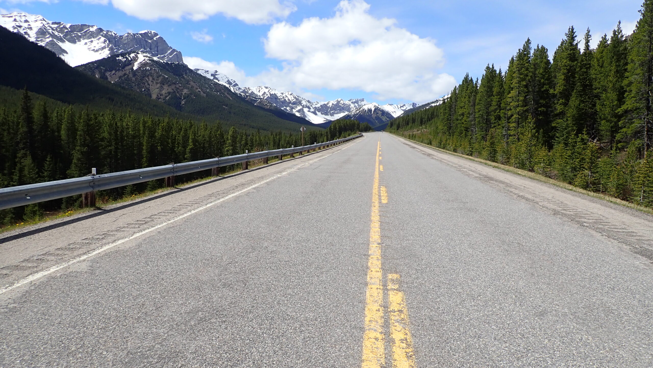
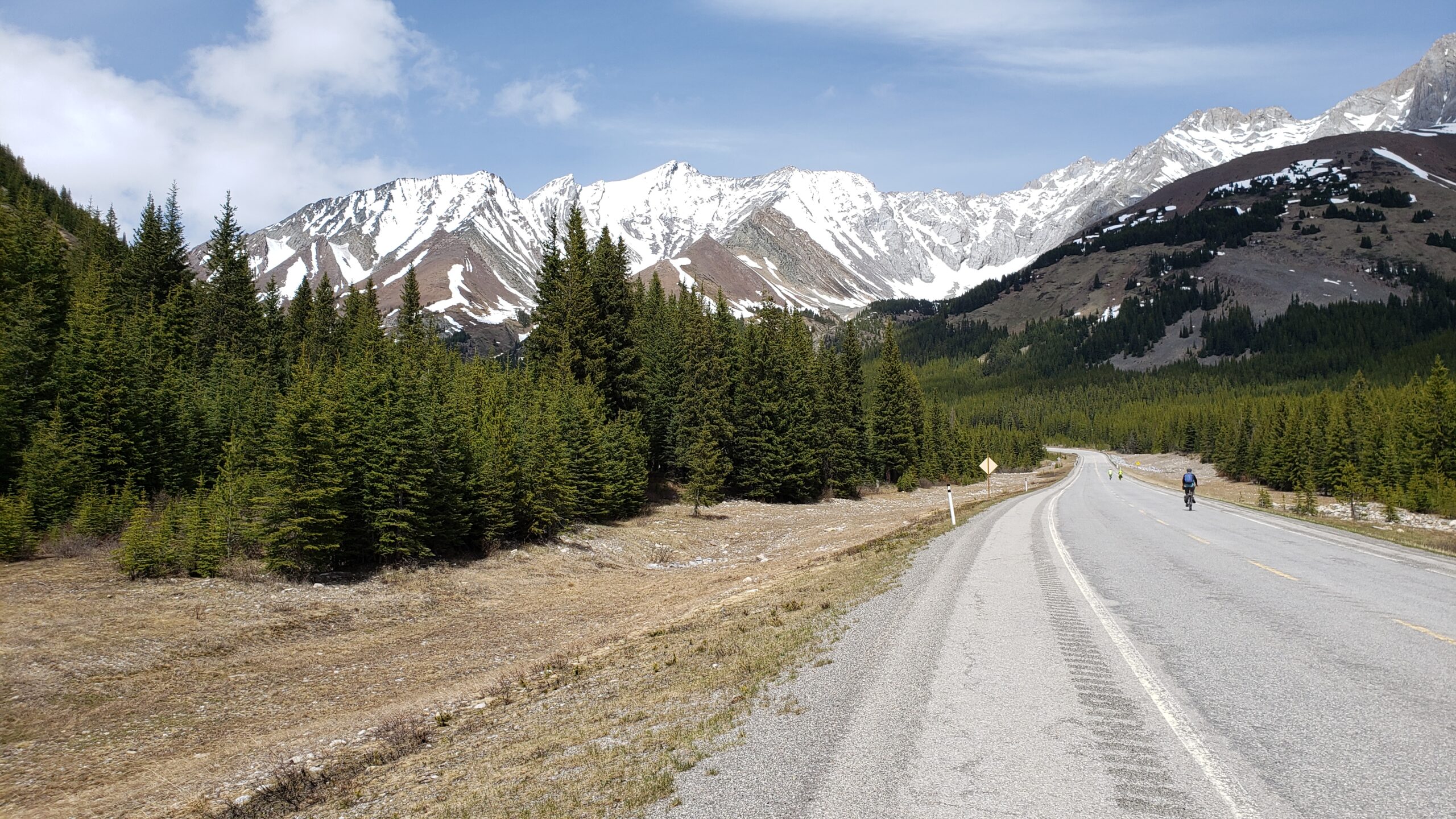
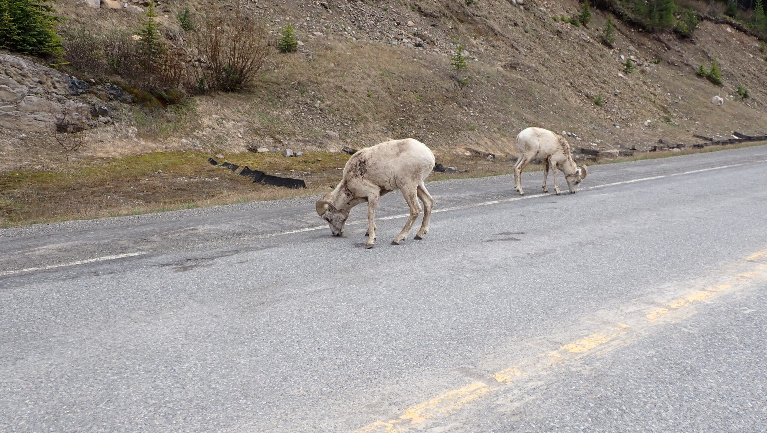
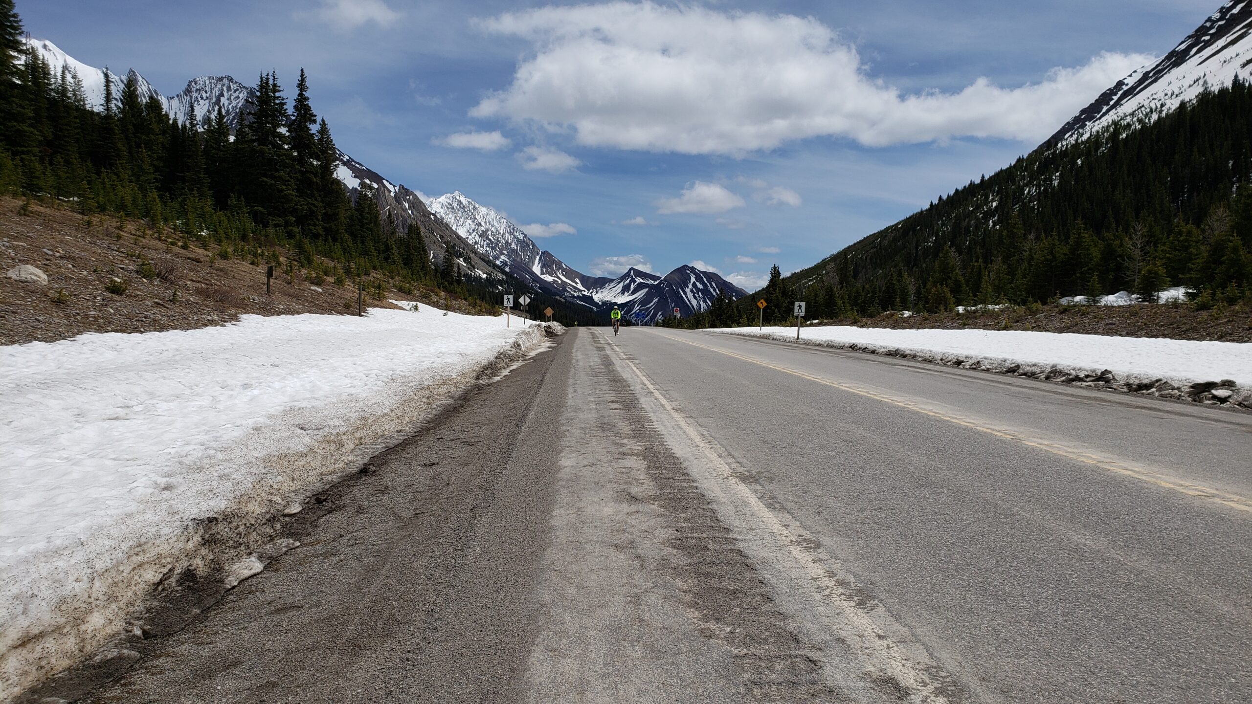
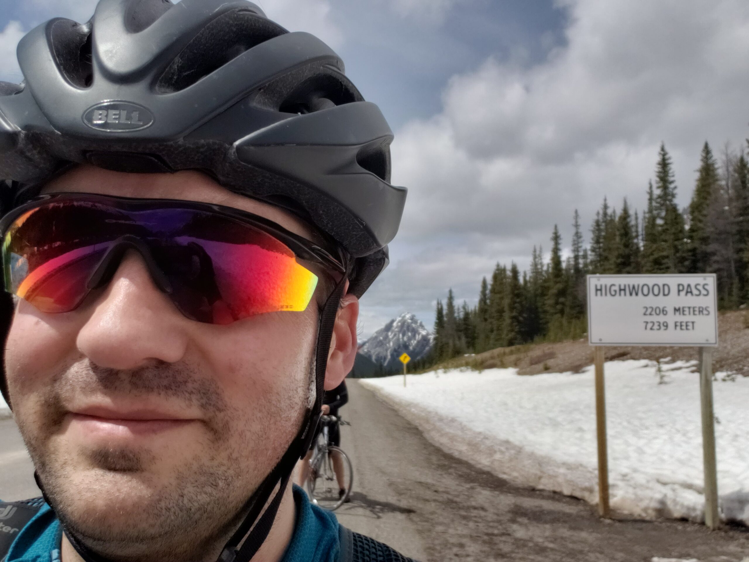
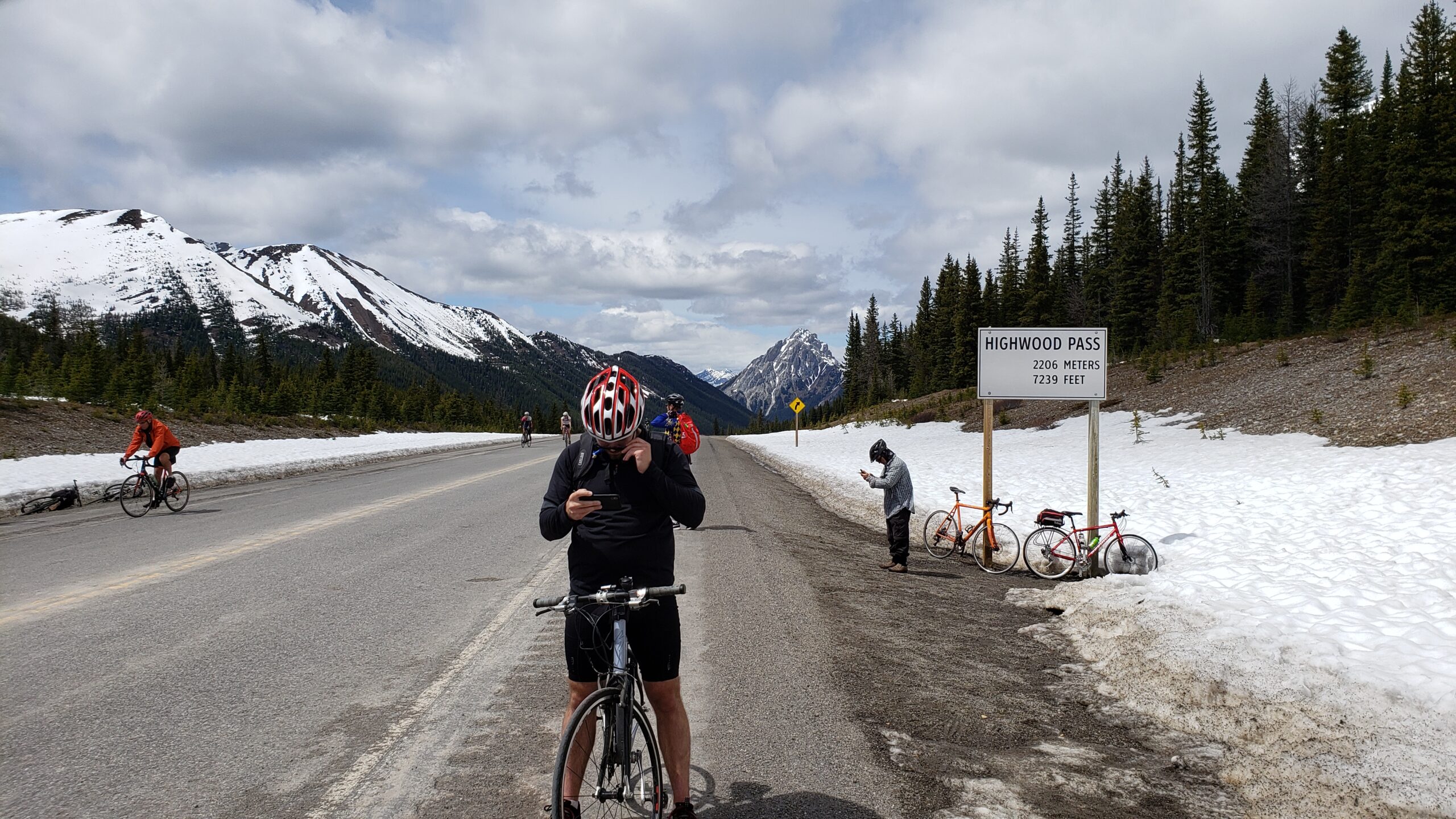
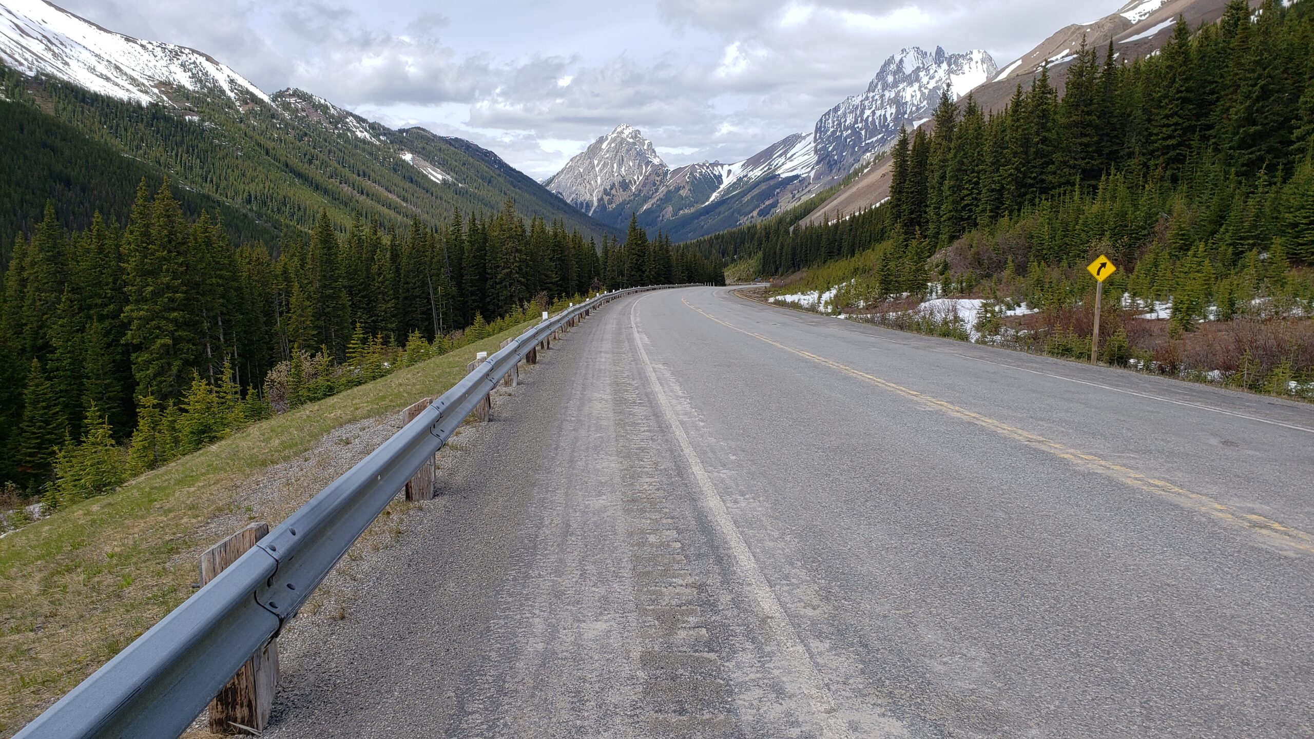
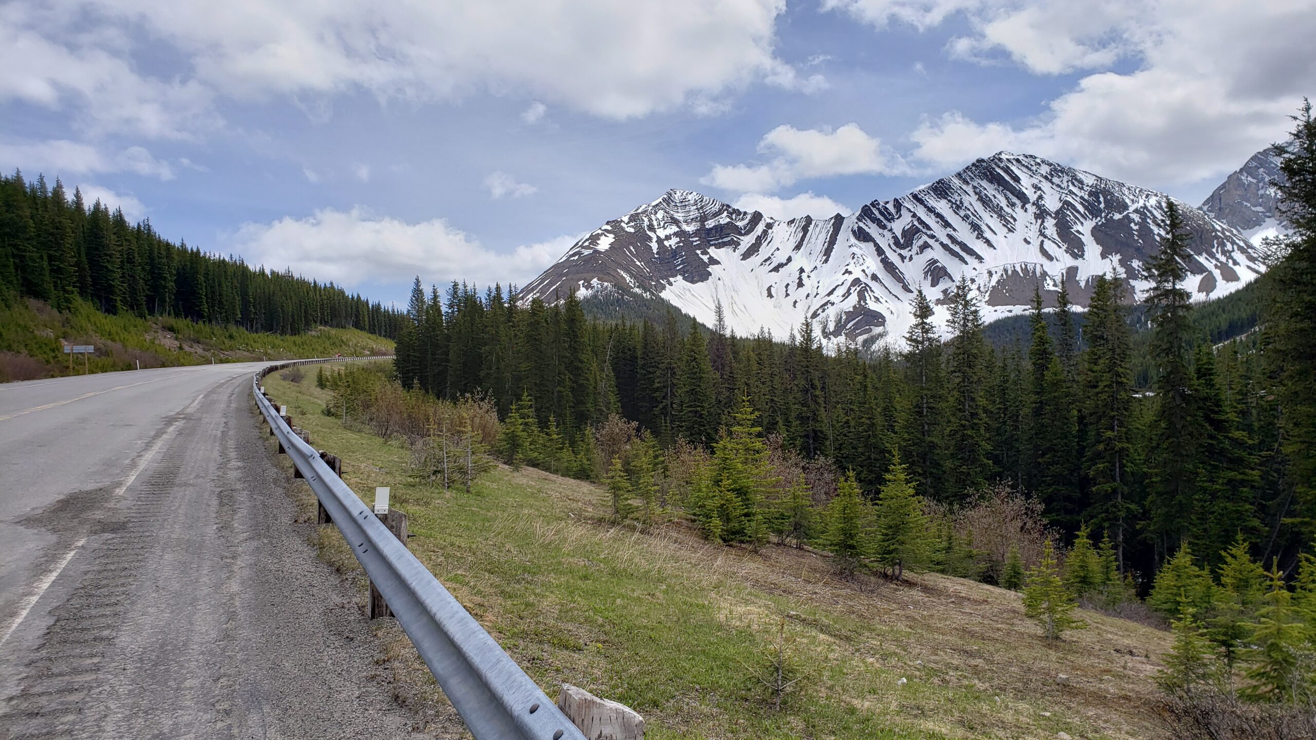
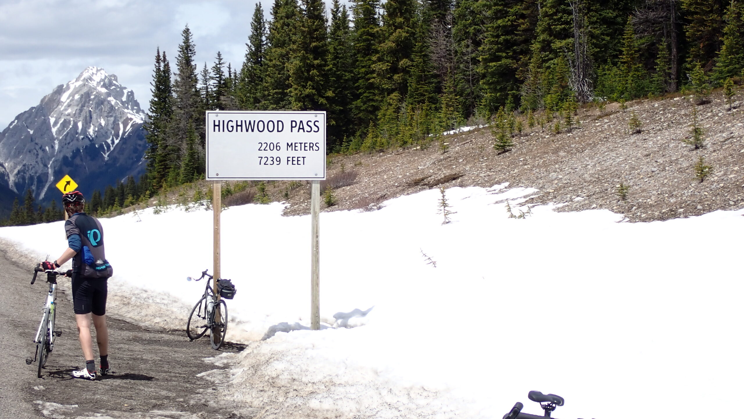
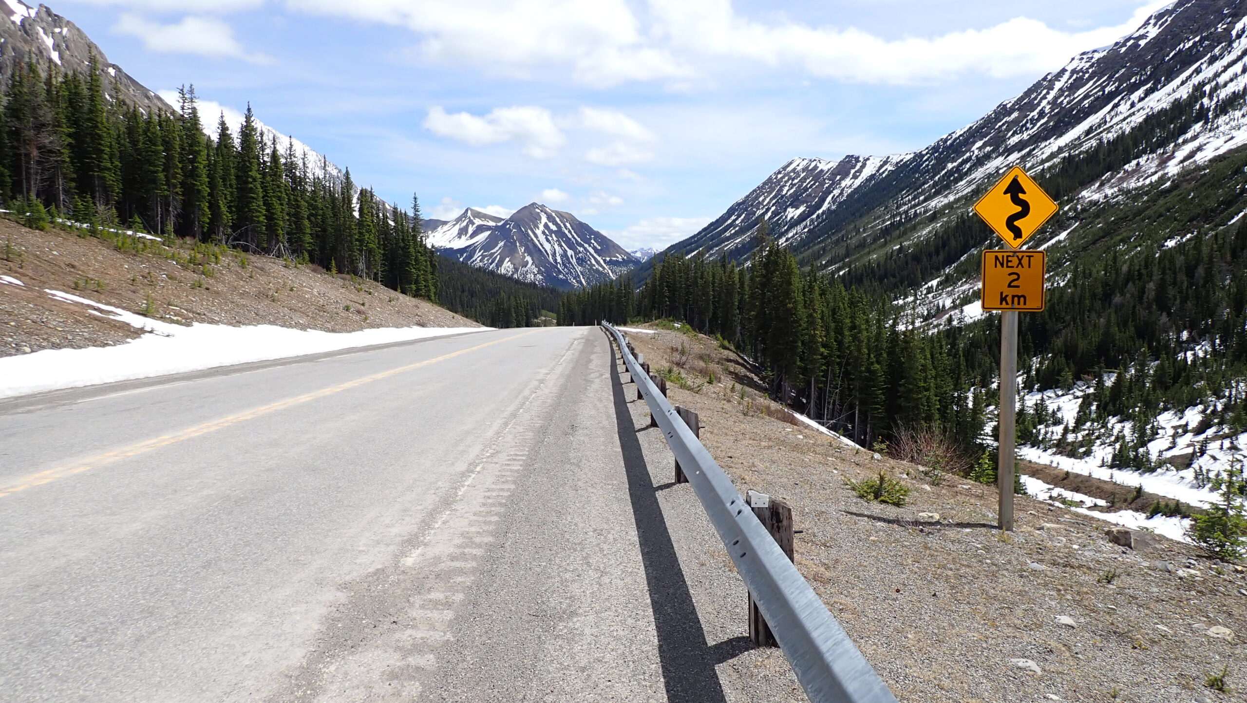
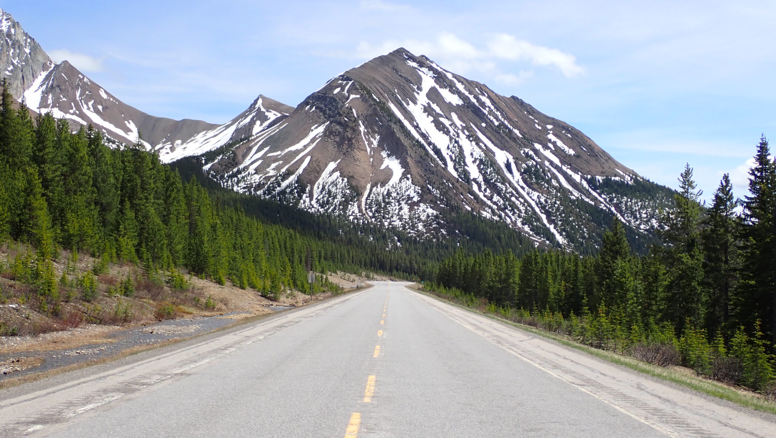
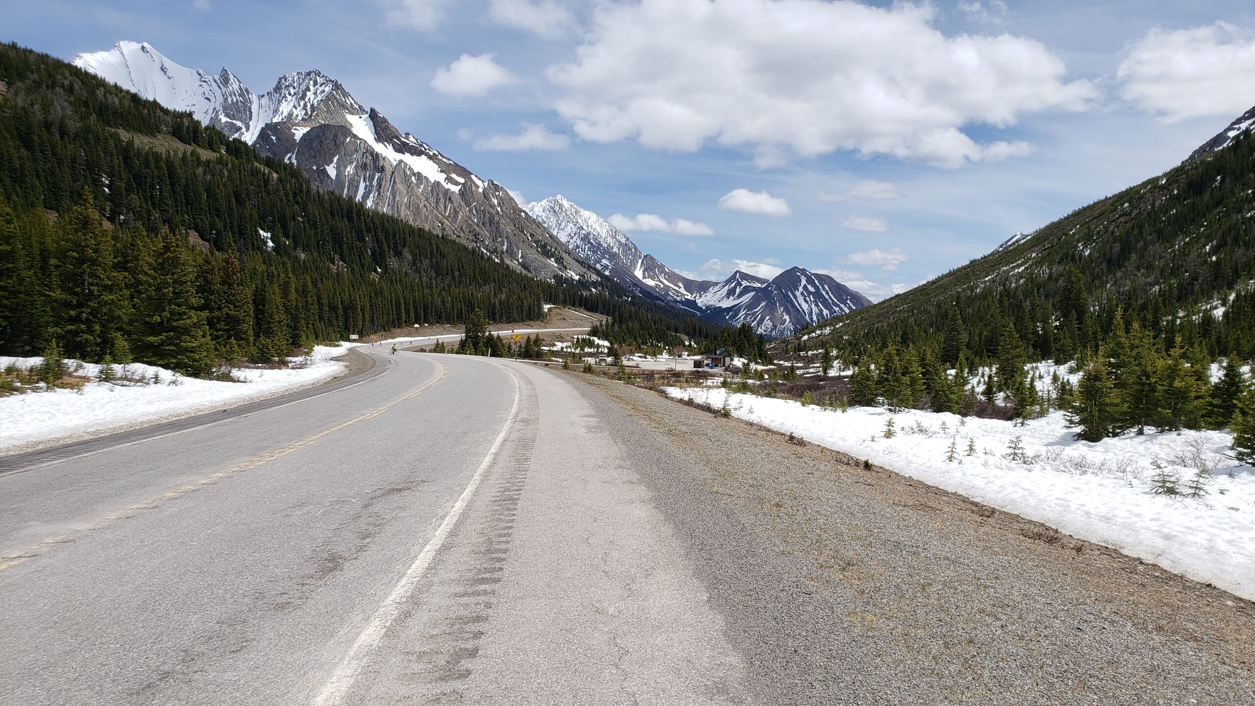
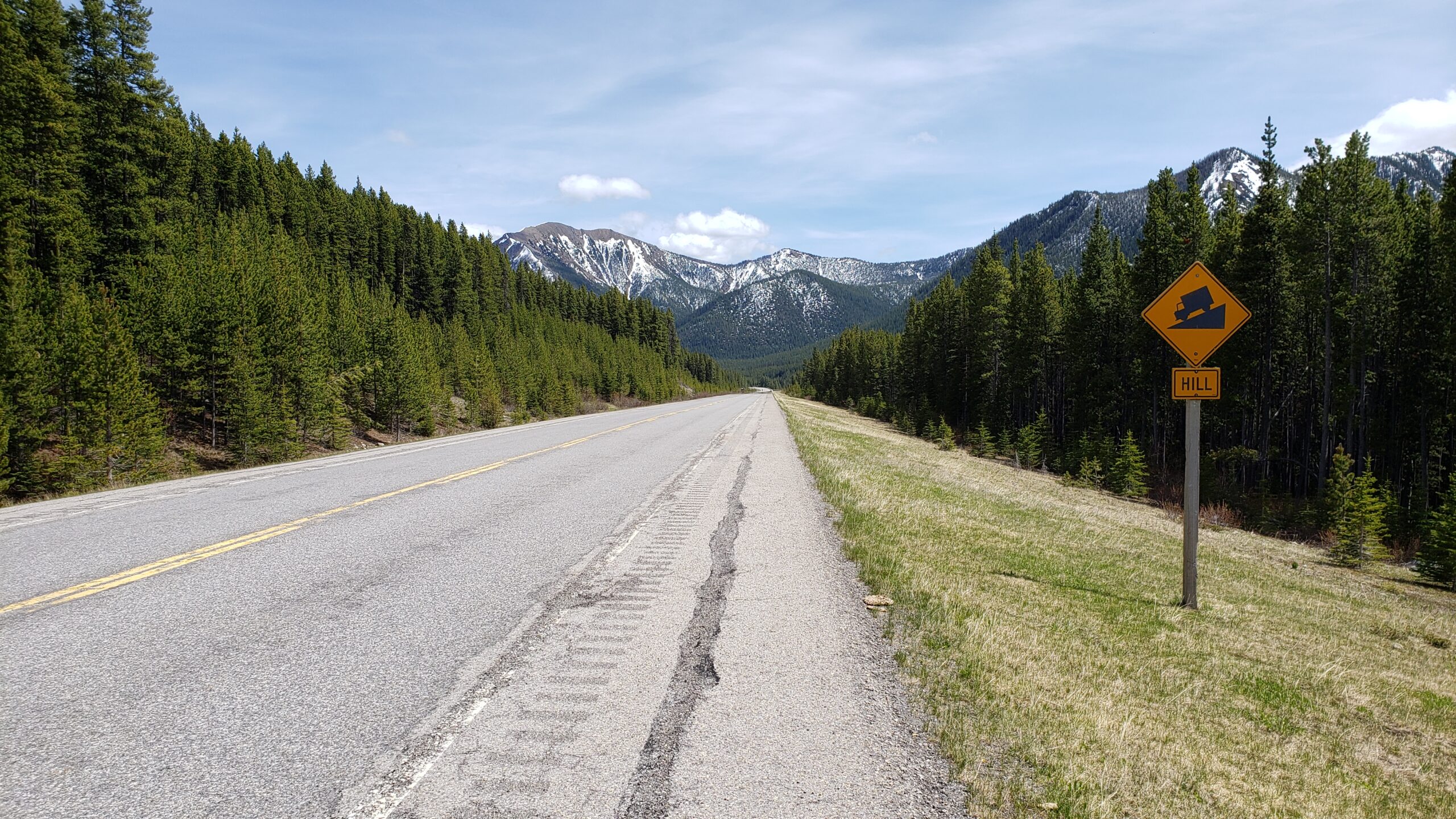
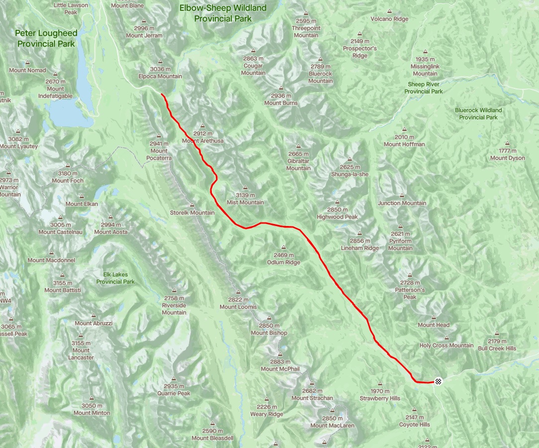
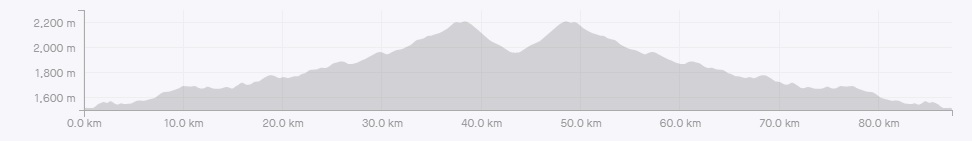
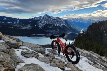
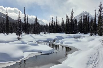
Might as well start here. From Dec 1 to June 14 each year, highway 40 in Kananaskis is closed to motor vehicles.Most of the time when this highway is closed, it is covered in snow. There is however a small window that occurs each year when the snow has melted but the road isn’t open yet. The perfect opportunity to go ride it on a bike. The goal for today is to reach the Highwood Pass which is roughly where the snowy mountain in the distance is.Still a long way to go. From the southern gates to the pass is just under 40km in distance but the real challenge is the 1043m of elevation gain you need to climb to get to the summit. Not surprisingly, as you gain elevation you start to catch up to the snow line. This highway does cross some avalanche paths so if you are out very early in the season, be sure to evaluate them before crossing. And more uphill. So why do they close highway 40 in the winter? This area gets a significant amount of snow so maintaining this road would be expensive. Keeping it safe from avalanches would also be a big, expensive job. Finally, it serves as a route for animals to pass through and keeping cars away keeps the critters safe.Speaking of animals, I passed these guys on the way up. They didn’t seem the slightest bit bothered by my presence. The last little bit before reaching the Highwood pass. At 2206 meters in elevation, this is the highest paved road in Canada.Traditional summit selfie!Apparently, I am not the only person with this idea. This picture was taken mid-week. I am told the weekends are extremely busy. After reaching the pass, I still had a bit of fuel left in the tank, so I figured, why not ride down the other side of the pass for a little bit?After a while, I turned around and started heading back up to the pass, this time coming up the steeper North side. Second time crossing over the highest paved pass in Canada!As I’m sure you can imagine, the ride back down was fast and fun. All that effort climbing to the pass finally pays off!Mount Lipsett makes an appearance on the way down. And since there are no cars, I can stop in the middle of the road and take a picture. You can see an ascent of Lipsett here (which includes a birds eye view of the highway I am riding today): http://www.tripbagger.com/2018/10/19/shawn-bags-mount-lipsett/ If the fast and fun ride out isn’t enough for you, the scenery should keep you entertained as you coast down. The ride out just keeps going down! Stats for the day: 87.3Km, 1352m of climbing, 3563 calories burnt.
1 Comment
Shawn Bags Mount Lipsett - Trip Bagger · March 27, 2022 at 6:14 pm
[…] feet in elevation, it is the highest highway in Canada. It also happens to be a great bike ride: https://www.tripbagger.com/2018/06/10/shawn-bags-the-highest-paved-road-in-canada-highway-40/ The guidebook suggests that you can park a second car near the bottom of the lower summit and can […]