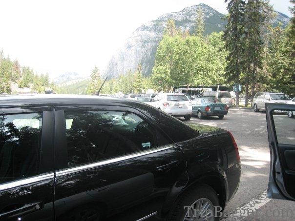
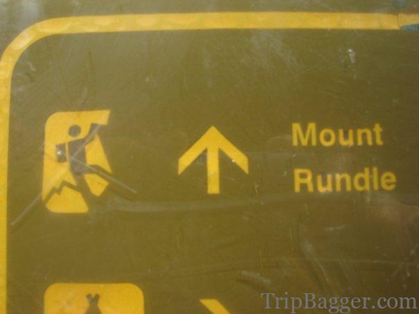
The hardest part of the trip? – 11+km distance? – over 6000 feet of cumulative elevation gain? Nope, avoiding the tourists and finding parking at bow falls:) Only 200m from the parking lot and it has gone from tourist chaos to nobody else around. Guess people don’t like to go to far from their cars.To climb Mount Rundle, you need to go up. not left, right or back in time.
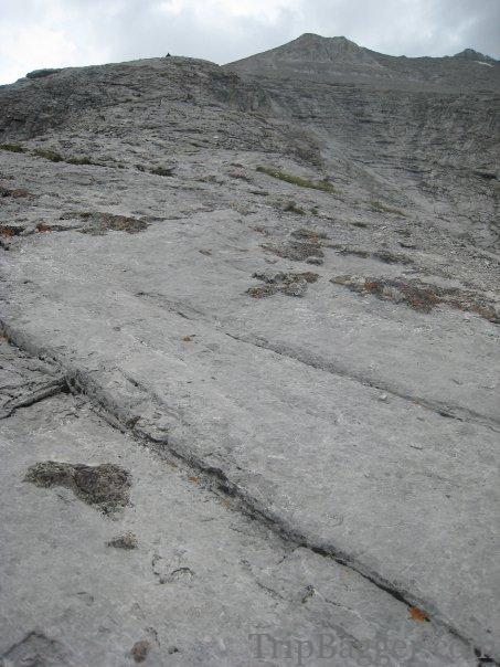
Out of the trees… finally.
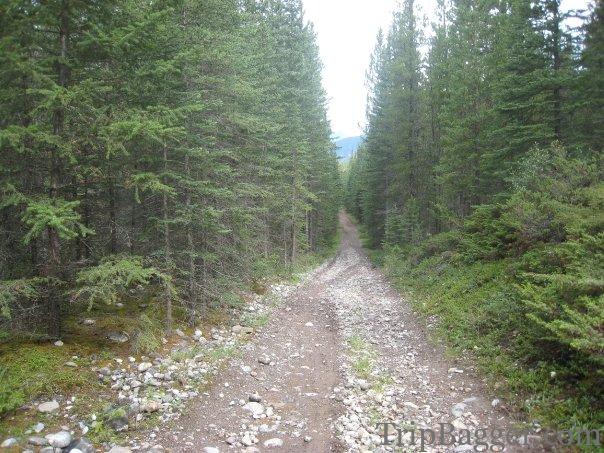
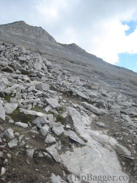
Still a long way to go!
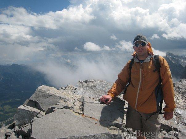
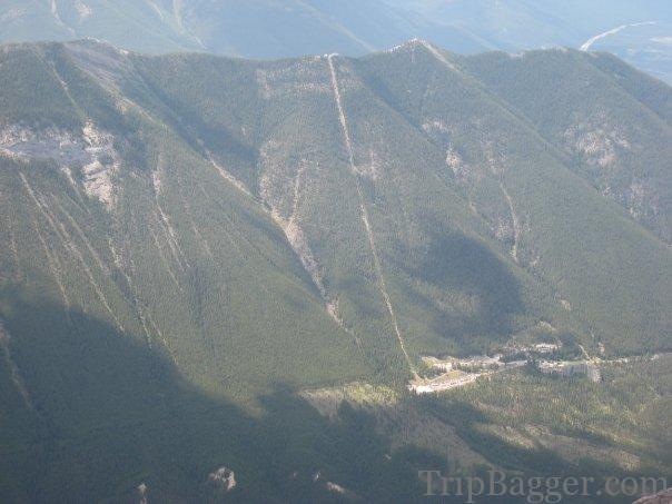
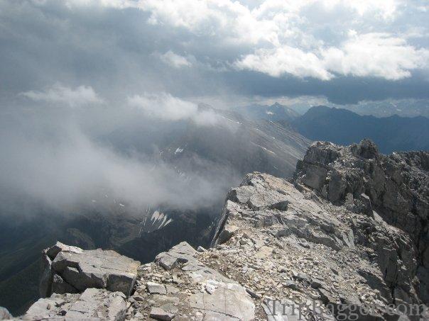
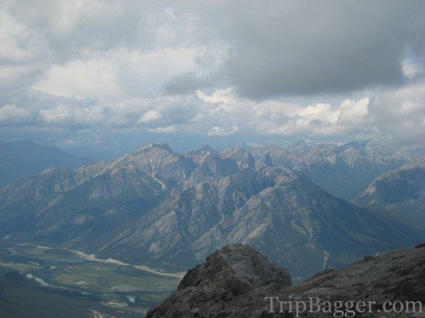
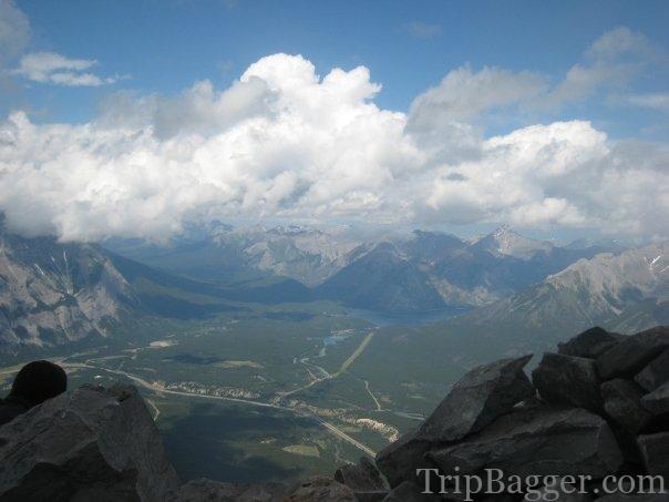
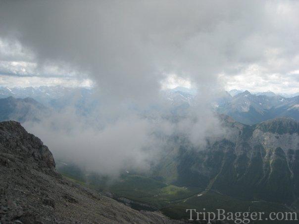
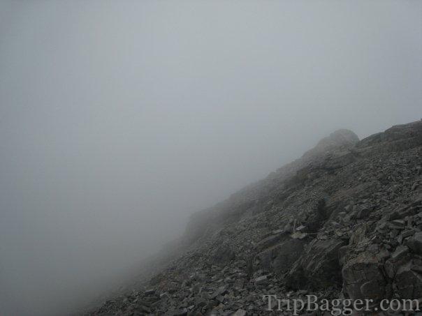
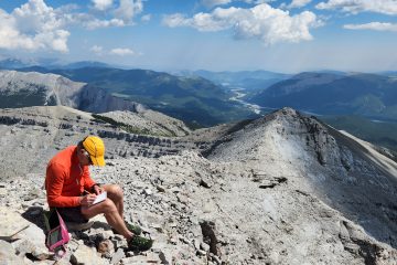
On the summit in no time. Traditional Summit Selfie.Looking across the valley at the gondola that takes tourists up Sulfur Mountain. Whish there was a gondola up here as well! (Not actually, I’m just lazy)This was pretty cool. Have you ever seen clouds forming off the peaks of mountains downwind? I was standing right at the peak, watching the clouds form off the edge of the summit. Neat!View of Mt NorquayView of lake Minnewanka. You can read about a bike ride to lake Minnewanka here: https://www.tripbagger.com/2021/04/26/shawn-bags-the-lake-minnewanka-bike-loop-banff-national-park/Clouds are starting to roll in. Time to get out of here!It appears I stayed on the summit a bit to long. It is snowing and raining now. Which way down again?

0 Comments