

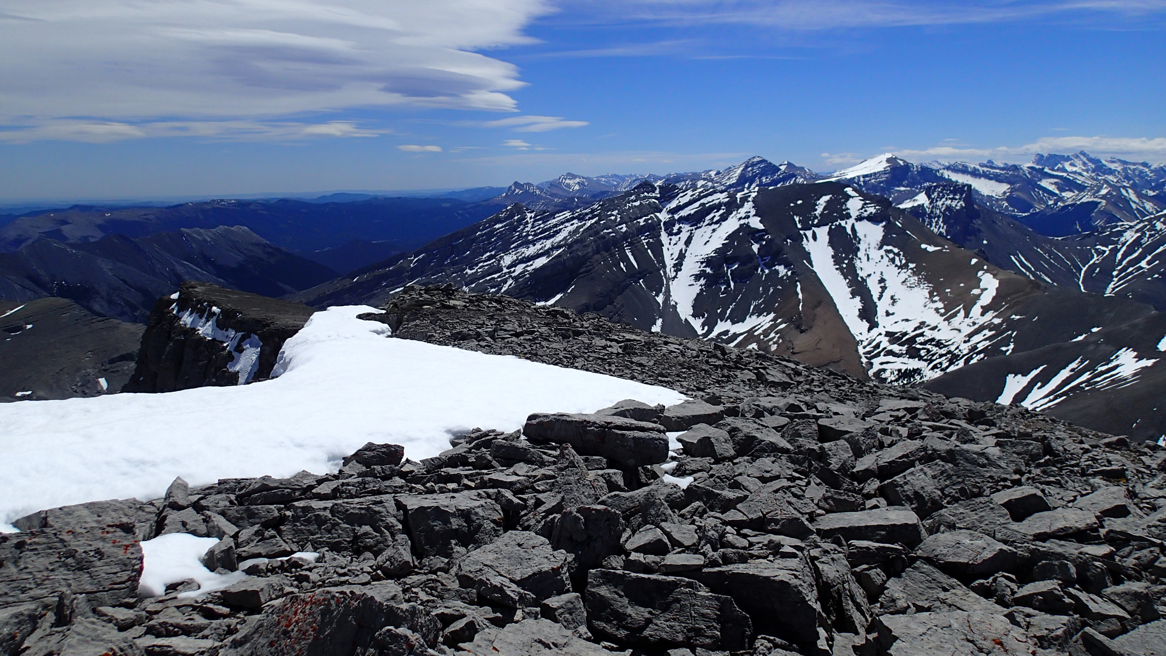


Obscure peak I had never heard of, until today. Quick Stats
Nice loop that includes Bertha peak. You can start right from the townsite. Quick Stats
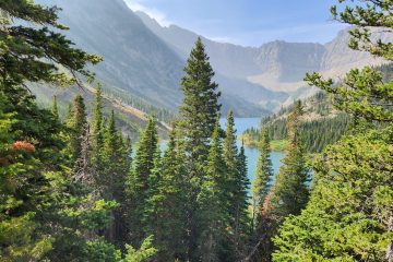
Nice lake with options to go further. Included as part of a loop up Bertha peak. Quick Stats
1 Comment
Shawn Bags Mount Bryant – Trip Bagger · January 4, 2019 at 5:10 am
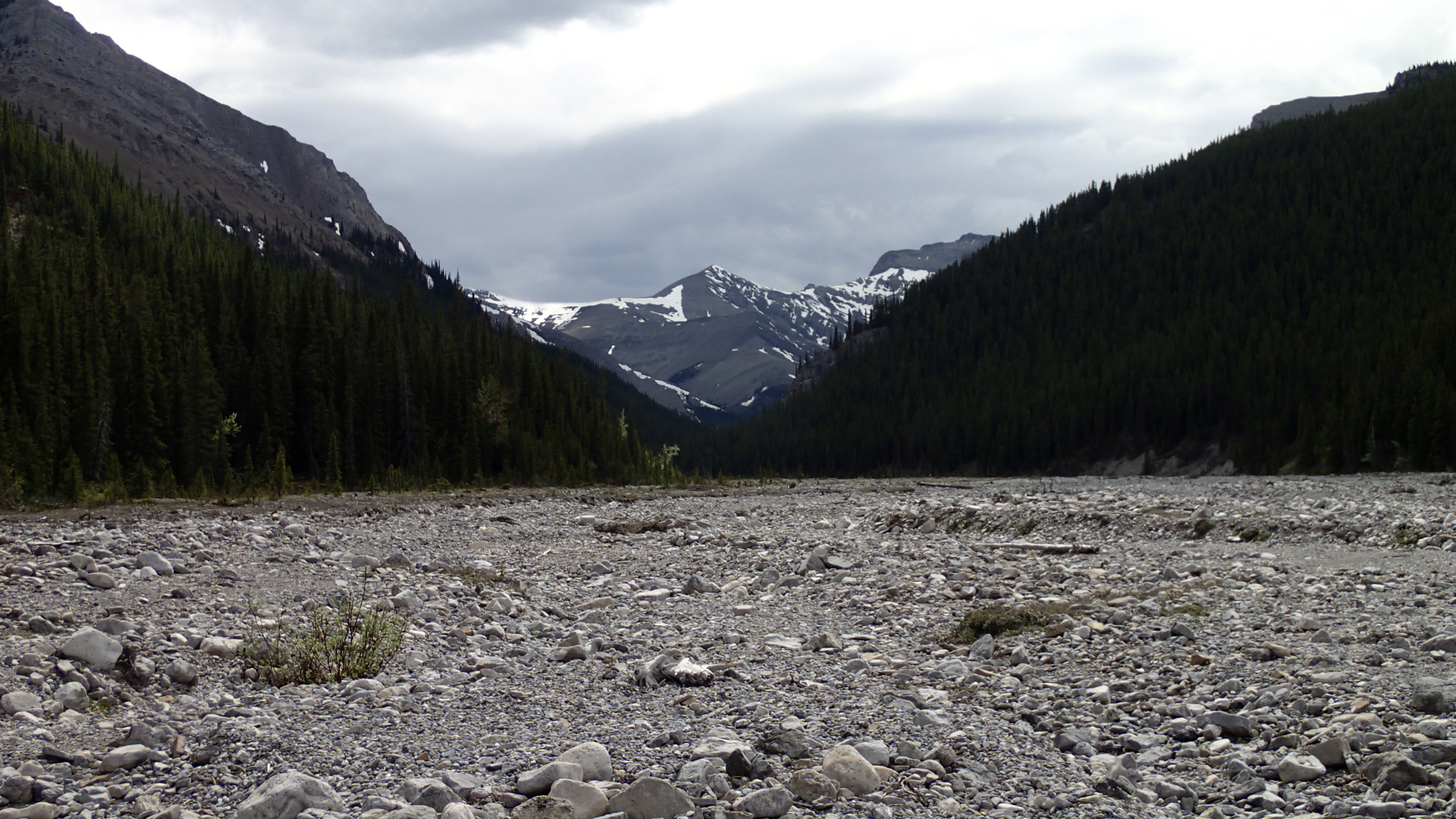
[…] bike, you could keep riding. At this yellow sign, you hang a right. Otherwise, you will end up at Mount Howard. After turning right at the yellow sign and heading up the dry tributary, the going gets a bit too […]