


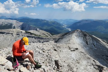
Obscure peak I had never heard of, until today. Quick Stats
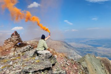
Nice loop that includes Bertha peak. You can start right from the townsite. Quick Stats
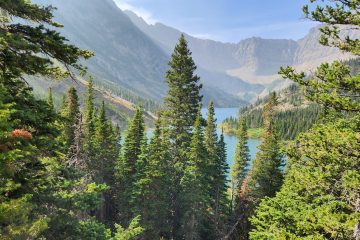
Nice lake with options to go further. Included as part of a loop up Bertha peak. Quick Stats
1 Comment
Shawn Bags the Highest Paved Road in Canada – Highway 40 – Trip Bagger · July 5, 2020 at 7:35 pm
[…] see an ascent of Lipsett here (which includes a birds eye view of the highway I am riding today): http://www.tripbagger.com/2018/10/19/shawn-bags-mount-lipsett/ If the fast and fun ride out isn’t enough for you, the scenery should keep you entertained as you […]