Great alternative to Prairie Mtn to stretch the legs.
Quick Stats
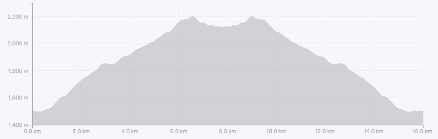
Distance: 16Km Round Trip
Height Gain: 824m
Round Trip Time: 3h11m
Kane Rating: Hike
Resources: Kananaskis Trail Guide by Gillian Daffern
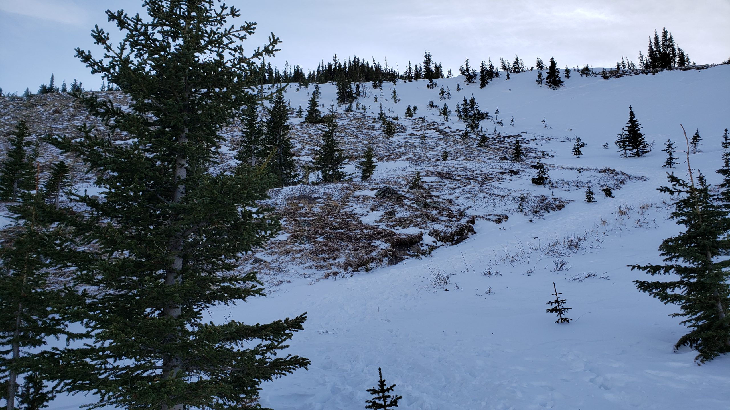
NOTE: There can be avalanche danger near the top of this hike. If you don’t feel comfortable evaluating the risk, turn around before the tree line.
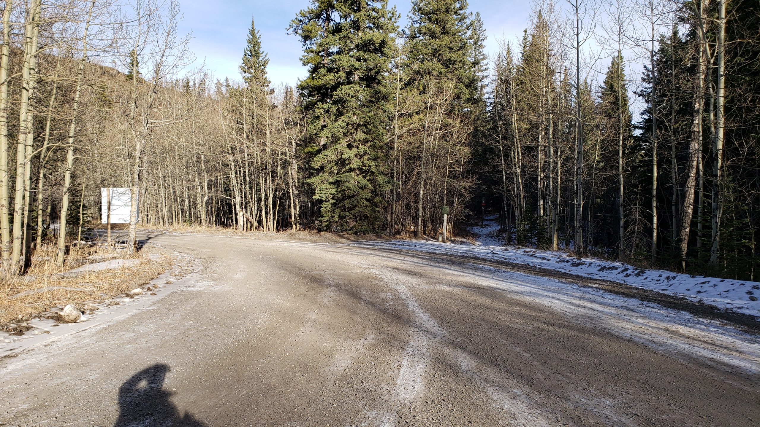
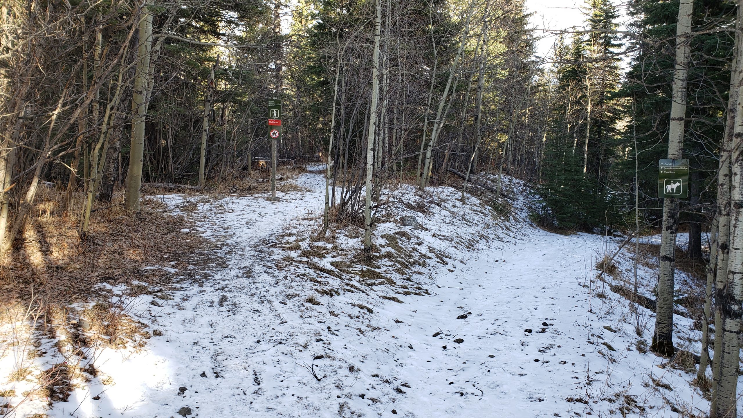
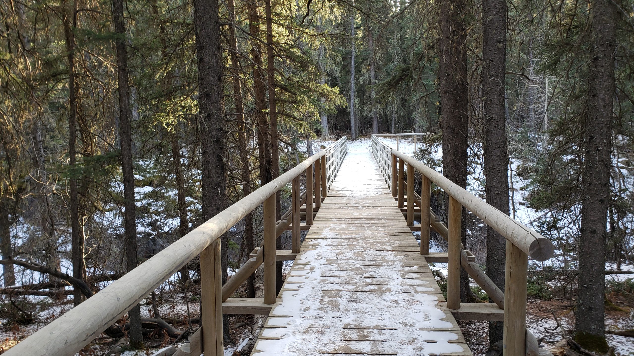
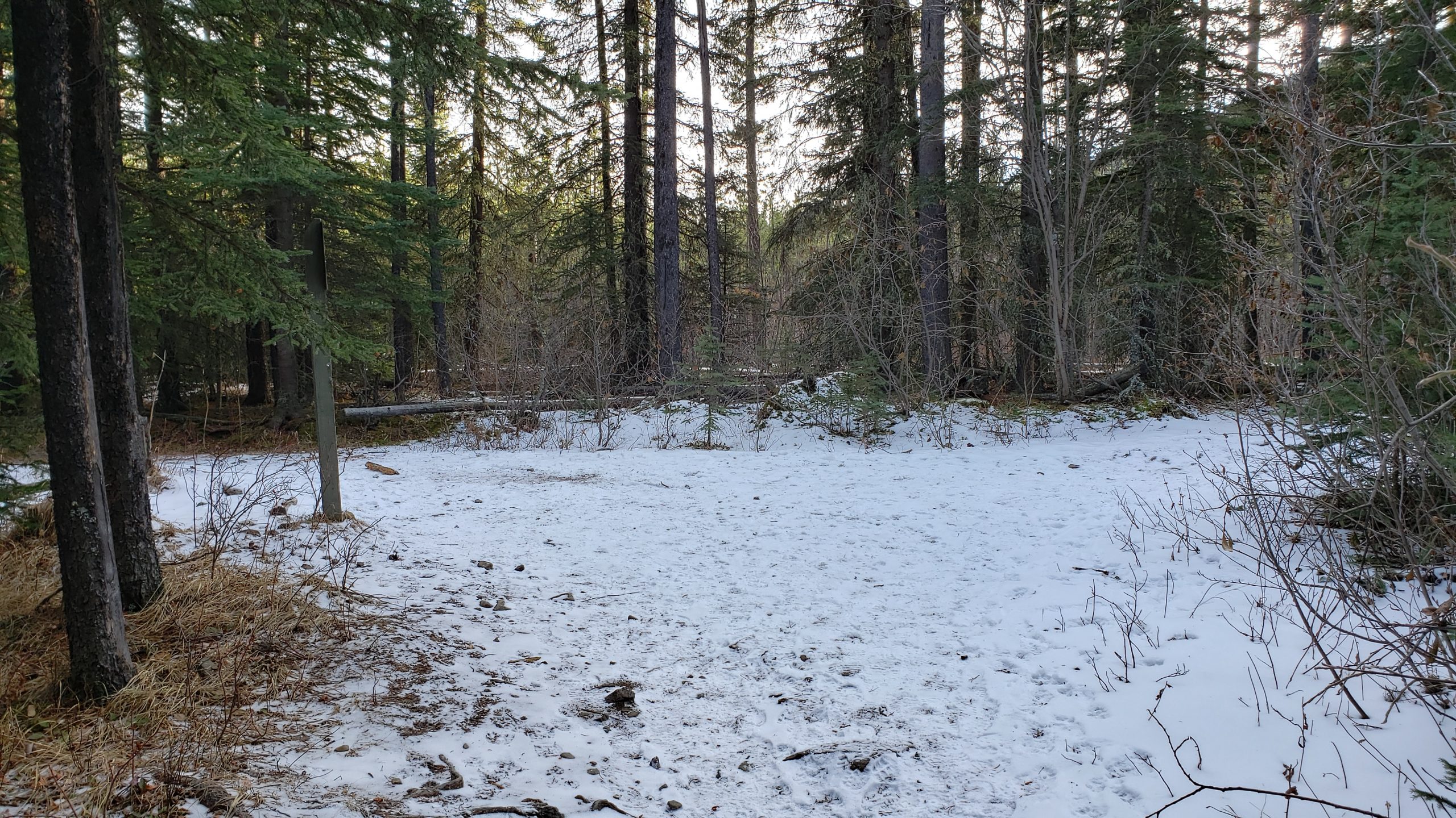
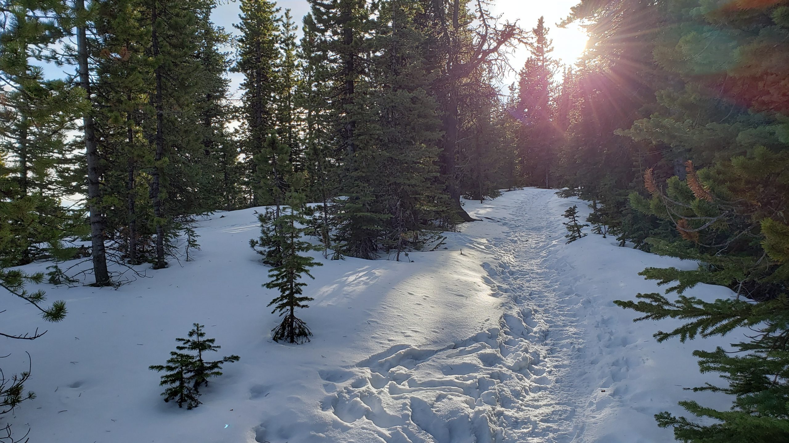
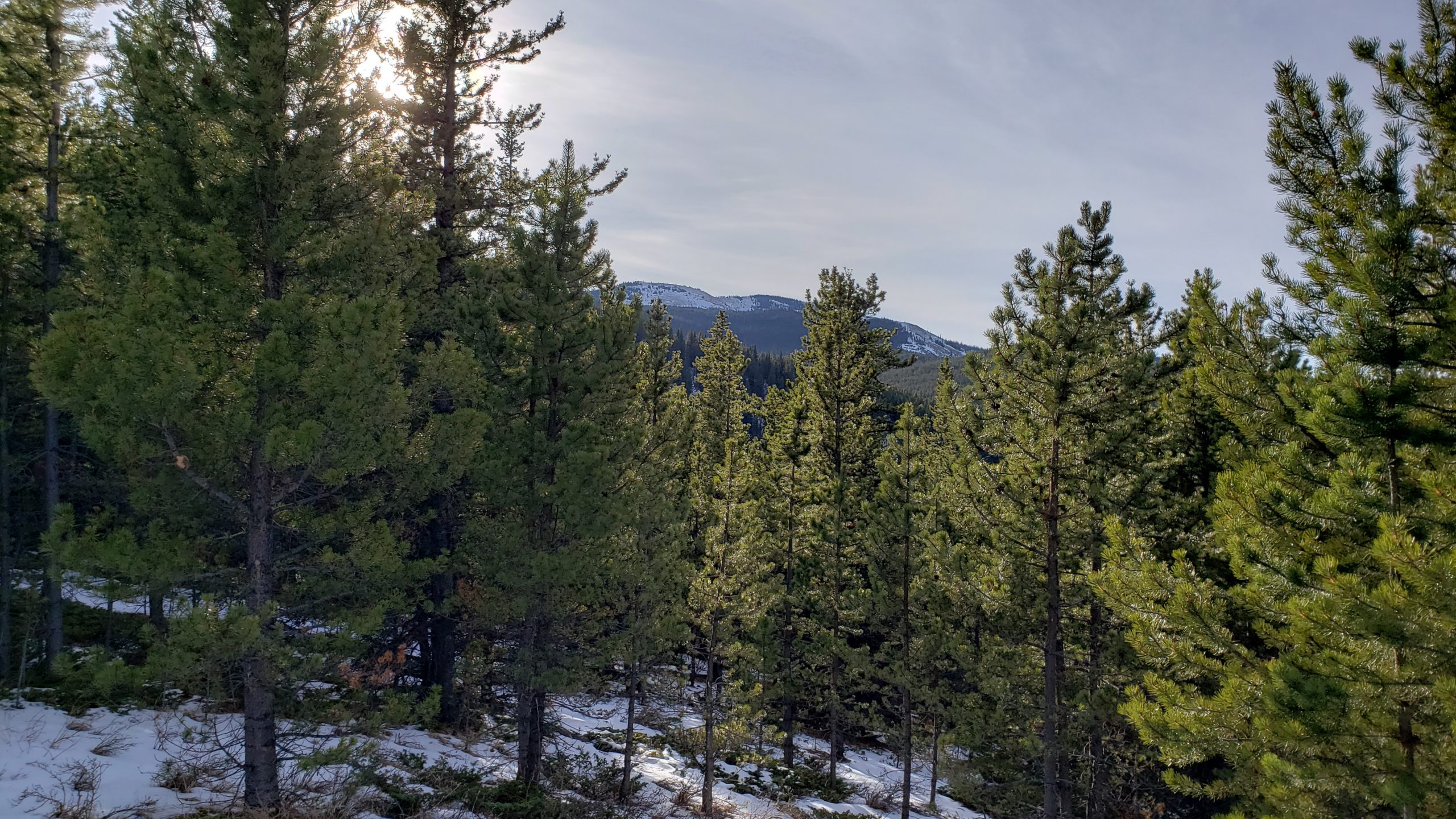
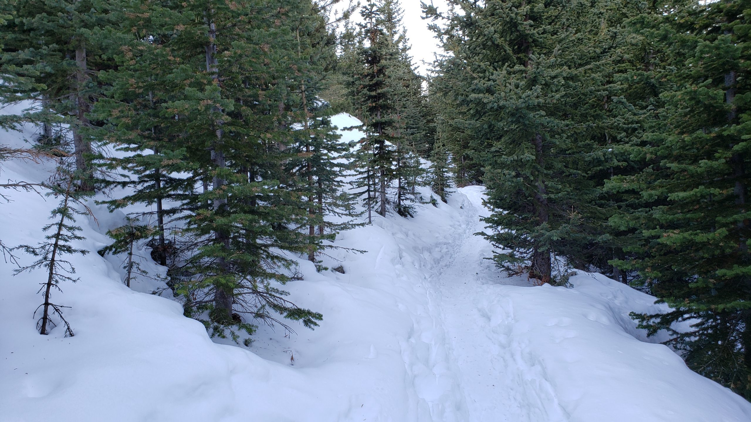
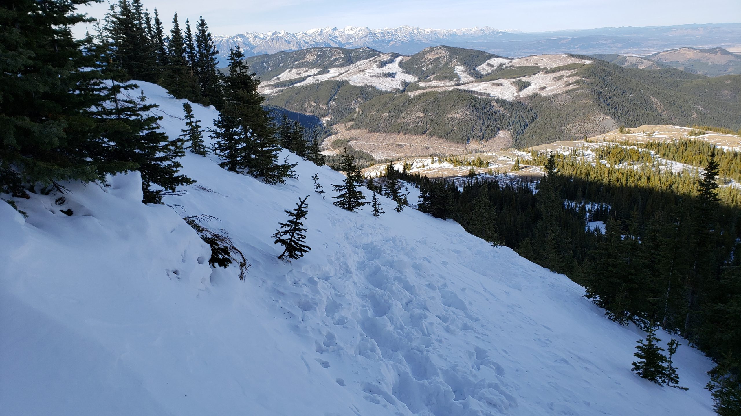
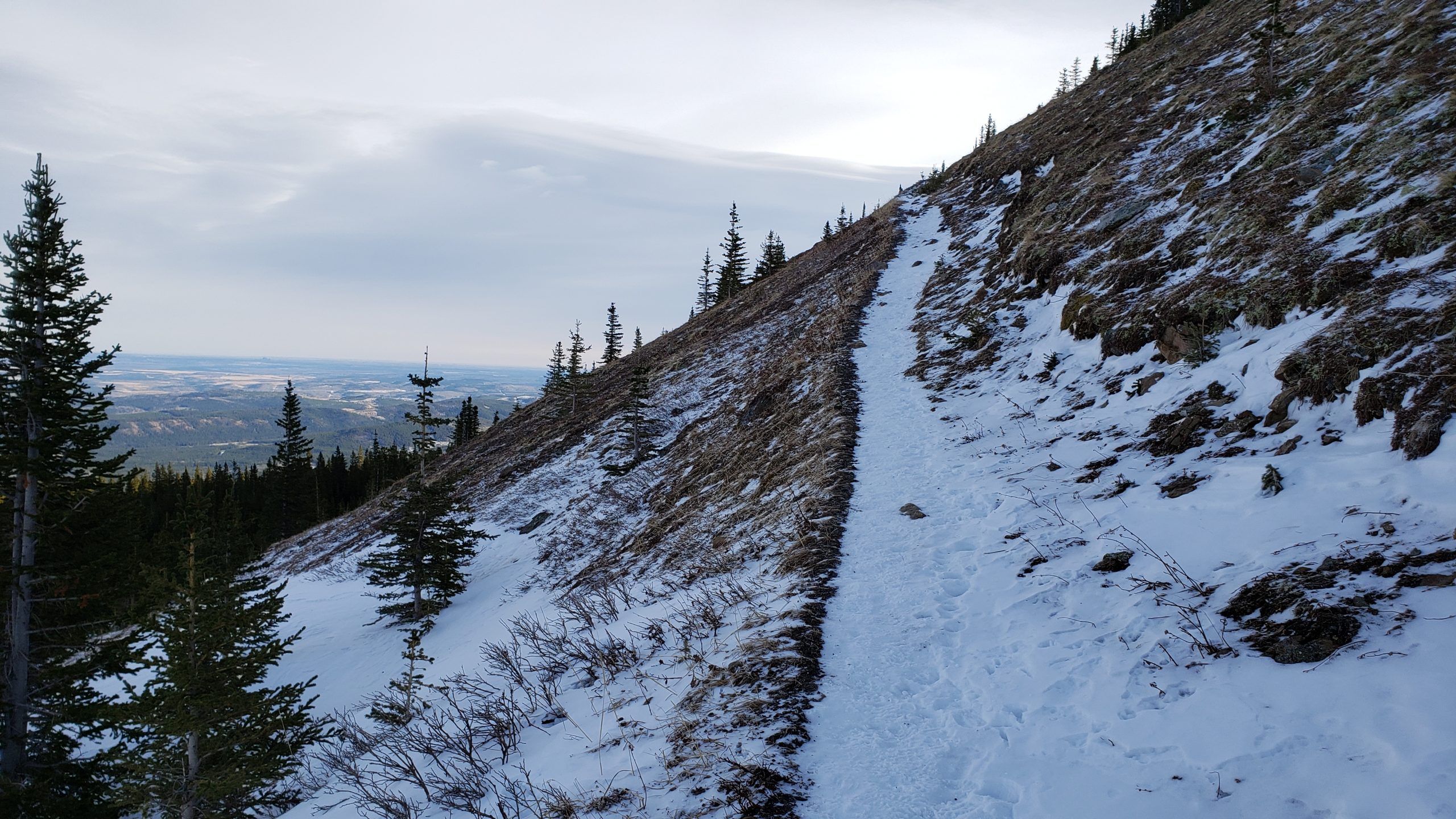
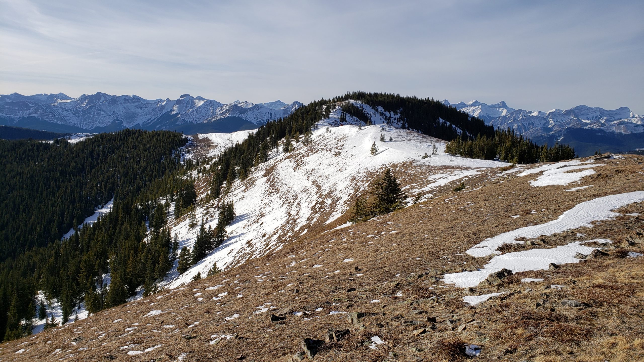
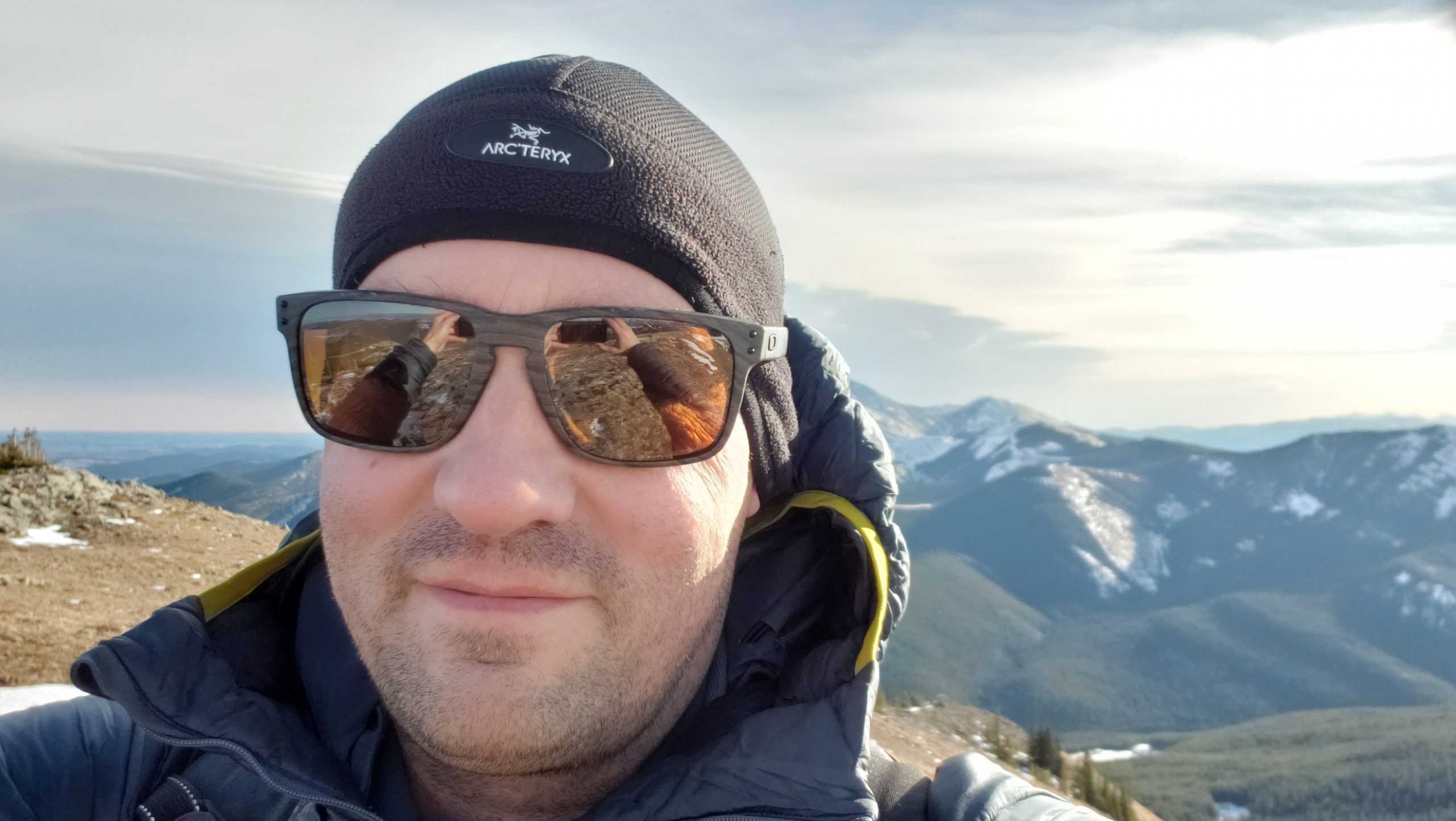
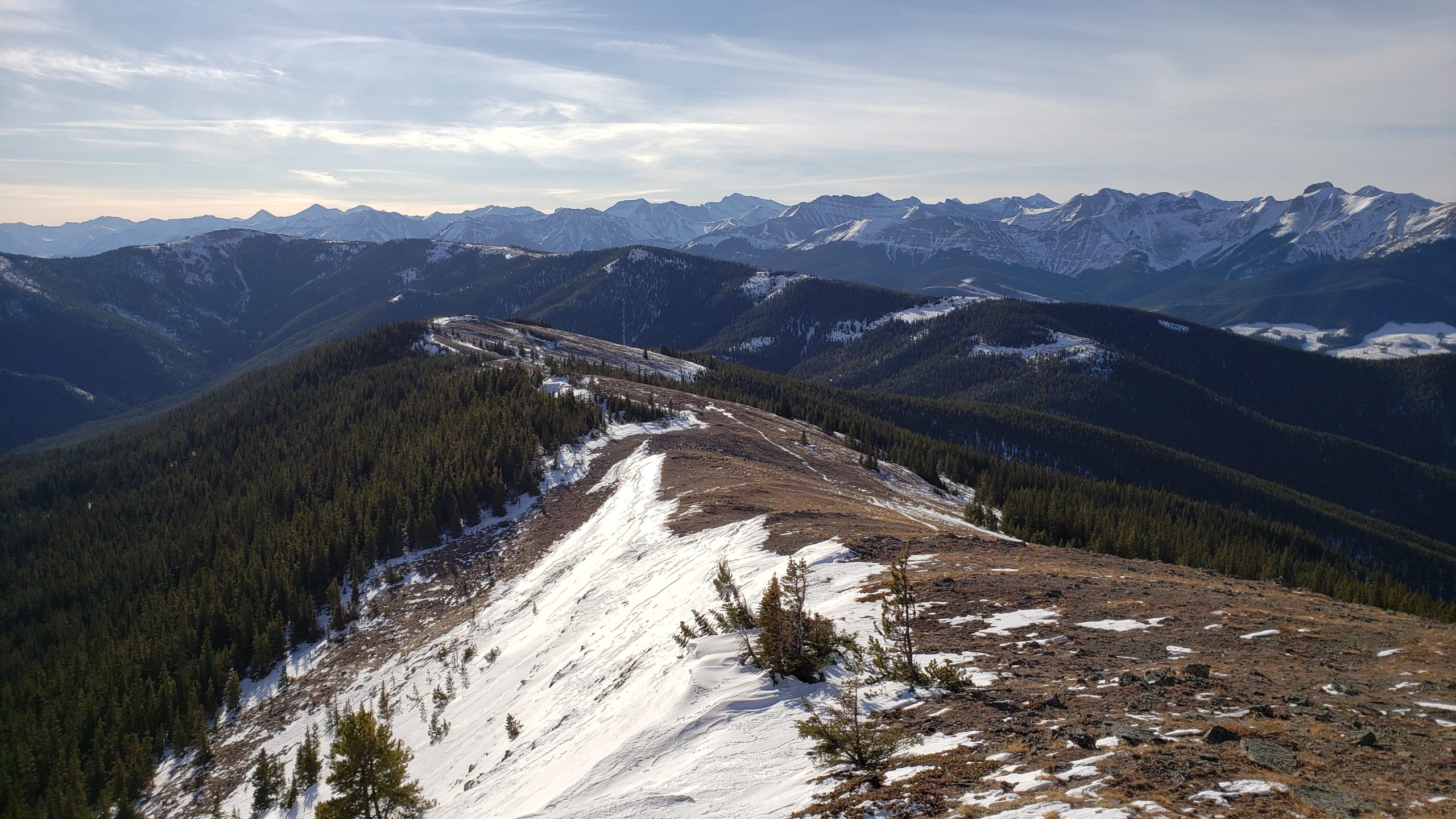
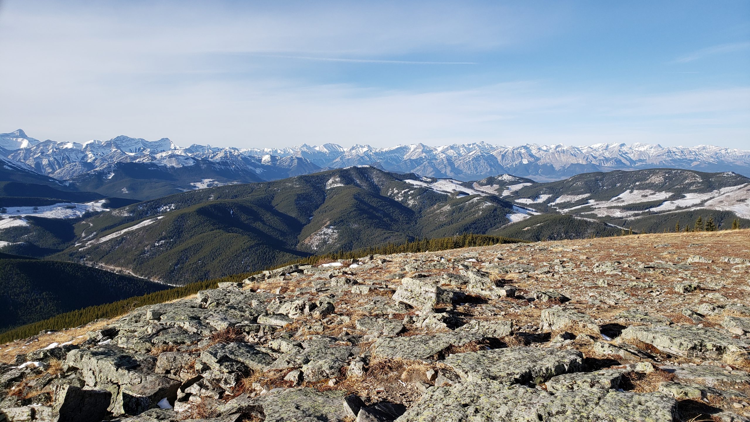
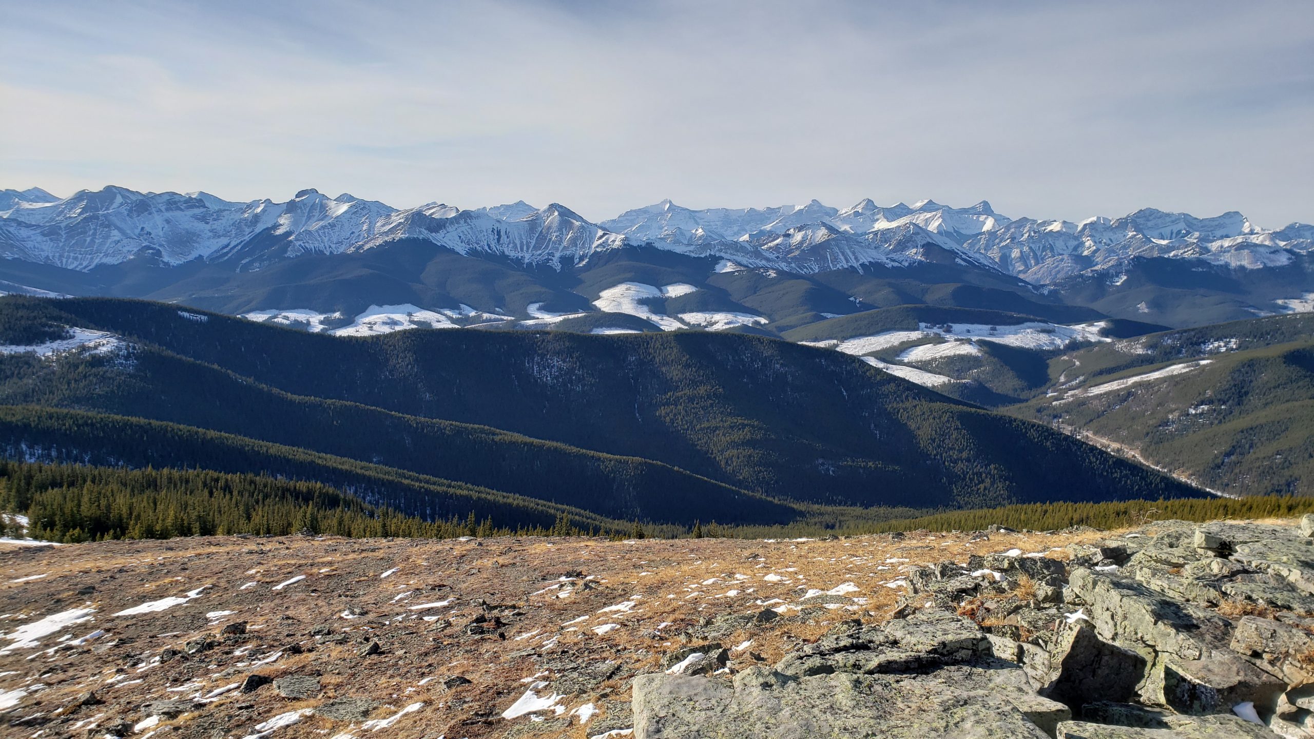
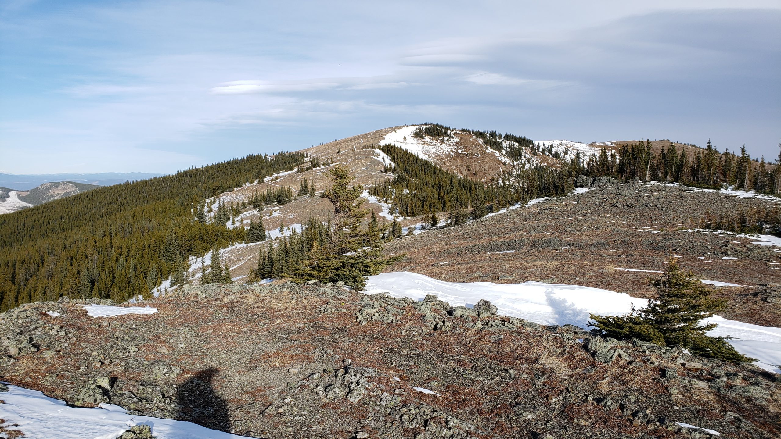
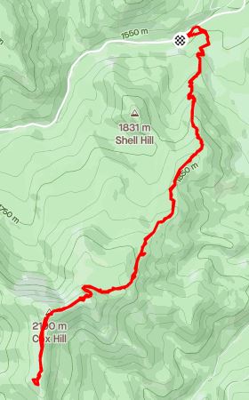
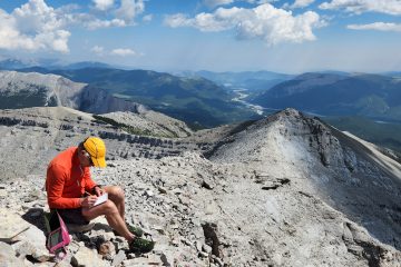
Years ago, before the days of phone-based mapping, just finding the trailhead at the parking lot could be tricky. At the Cox parking lot, there are numerous trails that head out from here. To save you the hassle, this is the way you want to head.At this first intersection go left. It seems counter intuitive because the summit is toward the right. This is a recent change to this trail but if you go left, you will have dry feet. If you go right, you will have to cross a stream.This is why you take the left-hand route in the previous picture. This fancy new bridge allows you to easily cross the creek. The old bridge was destroyed in the 2013 floods. This new replacement sits much higher above the river so hopefully it will be safe from future flooding.Not long after the bridge, you will find yourself at one last fork in the trail. Hang a right here.The majority of the route is in the trees and should be pretty obvious. It is a popular trail so unless there has been a recent snowfall, snowshoes are probably not really needed. Some kind of traction aid like micro spikes would be helpful however.On the way up you will be granted the occasional view from the trail. Yes, that is the summit way off in the distance.As you get closer to the summit the snow gets deeper but being a popular trail, it should be packed down fairly well.Once you get out of the trees, you are faced with this slope. This part of the trail can collect enough snow and is steep enough to avalanche. In fact, there are pictures of this slope where it has slid in the past. If you don’t have training in snow safety and can’t assess the snow for yourself, now would be a good time to turn around. Just because there are tracks in the snow from somebody else, doesn’t mean it is safe.In places, there can be enough snow to be a danger, and it is certainly steep enough to slide.Fortunately for me, on this particular day, the slope was stable and quickly thinned out.From the top of the slope, you can follow the ridge to the summit. Traditional Summit Selfie!From the summit there are numerous options to extend your journey. I decide to wander around the ridge for a little while.Not surprisingly, the views from the ridge top are spectacular.Not bad at all.Moose Mountain Summit in the center.When you are done enjoying the scenery, trace your steps to return to the parking lot. Looking back toward the summit here.


0 Comments