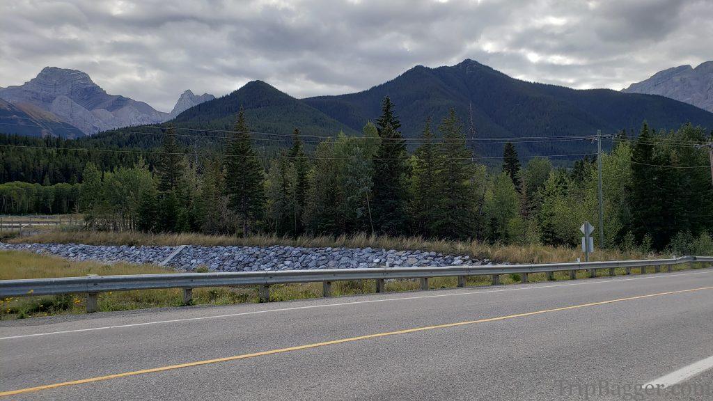
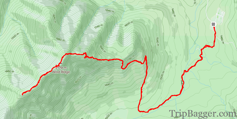
From the highway, this small peak just looks like it will be a boring walk in the forest. Don’t be fooled like I was. Hiding around the back of this small unassuming peak is a spectacular valley.After leaving the parking lot, the trail follows an old logging road. This area is rich with coal deposits so there are many old exploration roads. When the coal was first discovered the prices were low, so it wasn’t worth the trouble and cost to mine this area. Although it is now in a protected area, the Alberta government likes to do things like remove park status when it means money can be made, in my opinion.
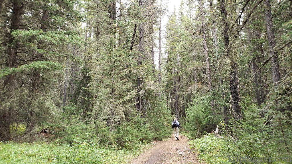
Eventually, the trail leaves the network of old roads and starts the uphill grind.
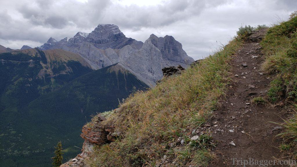
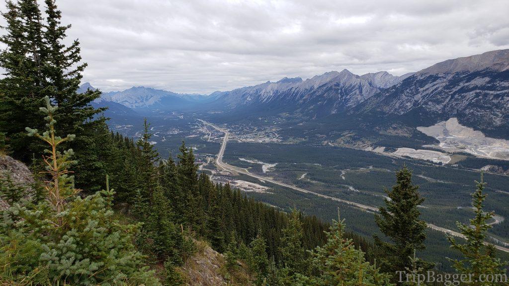
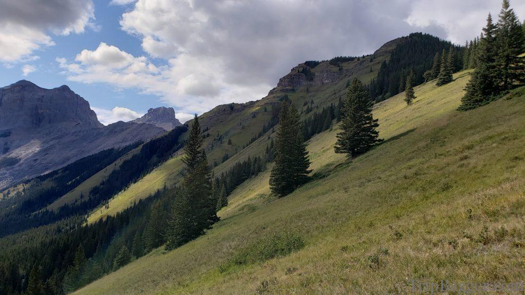
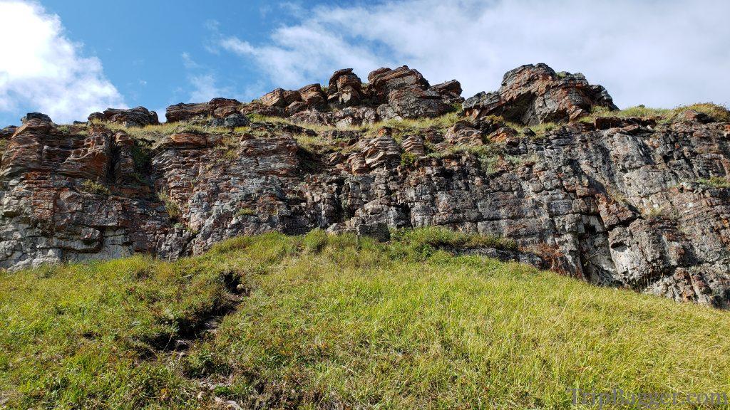
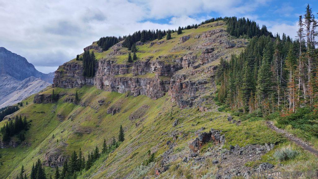
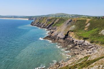
As the trail escapes the trees, the views improve and the trail gets steeper. Mount Lougheed makes an appearance:https://www.tripbagger.com/2019/08/18/shawn-bags-mount-lougheed-kananaskis/ The trail follows the ridge and occasionally grants you views of Canmore down the Bow Valley.The backside of this peak is spectacular. I would have never guessed this hike would be this good.Eventually, you will come across the crux of the journey which is this cliff band. It is possible to scramble up these cliffs or if you don’t feel comfortable, there is an alternative. Turn right at the bottom of these cliffs to go around the crux. The trail that bypasses the crux. Mount Lougheed in the background: https://www.tripbagger.com/2019/08/18/shawn-bags-mount-lougheed-kananaskis/
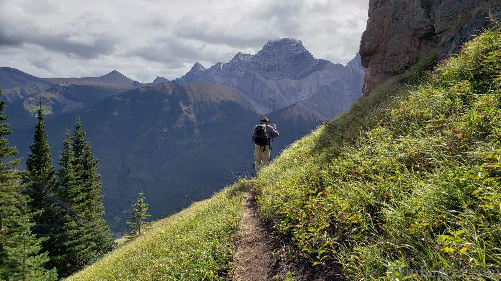
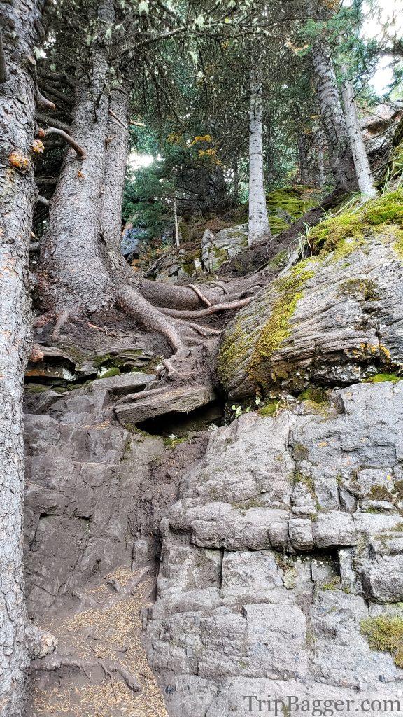
A look at the alternative to the crux. The picture doesn’t really show how steep it is, but there are trees and roots you can hang on to along the way.
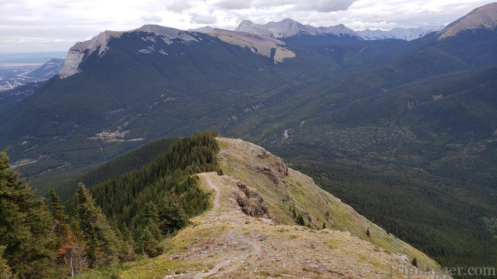
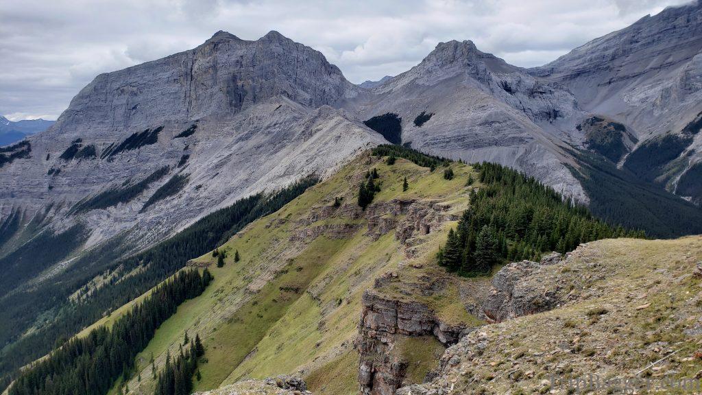
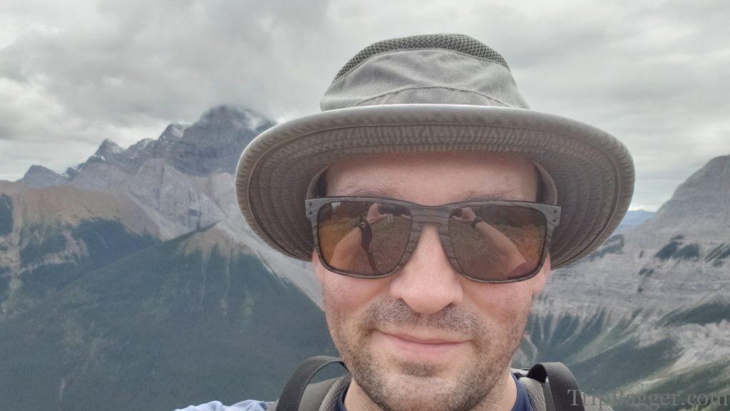
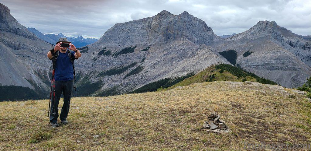
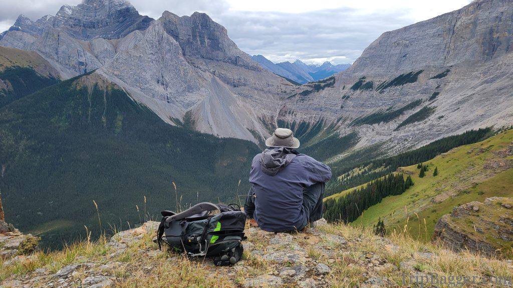
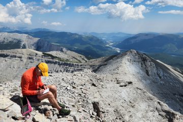
The crux was worth it for this view in my opinion. This hike really surprised me, I didn’t’ know it would be this picturesque. A look back down the ascent route. Pigeon mountain and an old, abandoned ski hill make an appearance. Note that hunting is permitted in this valley. We did hear gunshots once so maybe leave your deer costume at home for this hike. On top! What an amazing summit view. Which of course calls for the traditional summit selfie. Behind the scenes of the traditional summit selfie. Speaking of behind the scenes. This ridge was the location where Pink Floyd learning to fly video was filmed: https://www.youtube.com/watch?v=nVhNCTH8pDs The perfect spot for lunch. A highway was proposed for this valley that would pass through a tunnel under this rock face into the next valley. The plan was to hold downhill skiing events for the 88 Olympics in the spray valley and this would grant easy access. Fortunately for me, they moved the skiing to mount Allen instead so I can enjoy my lunch without a highway. Although I’m told you can make a loop, to return, we retraced our steps back.

0 Comments