An easy bike ride on a paved path through Kananaskis
Quick Stats
Distance: 20-25Km round trip
Height Gain: 120m
Round Trip Time: 3h
Surface Type: Paved bike path
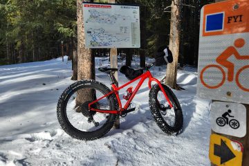
Weapon of Choice: Anything with wheels – Mountain bike if you are taking the alternate return path
Resources: Alberta Parks Website
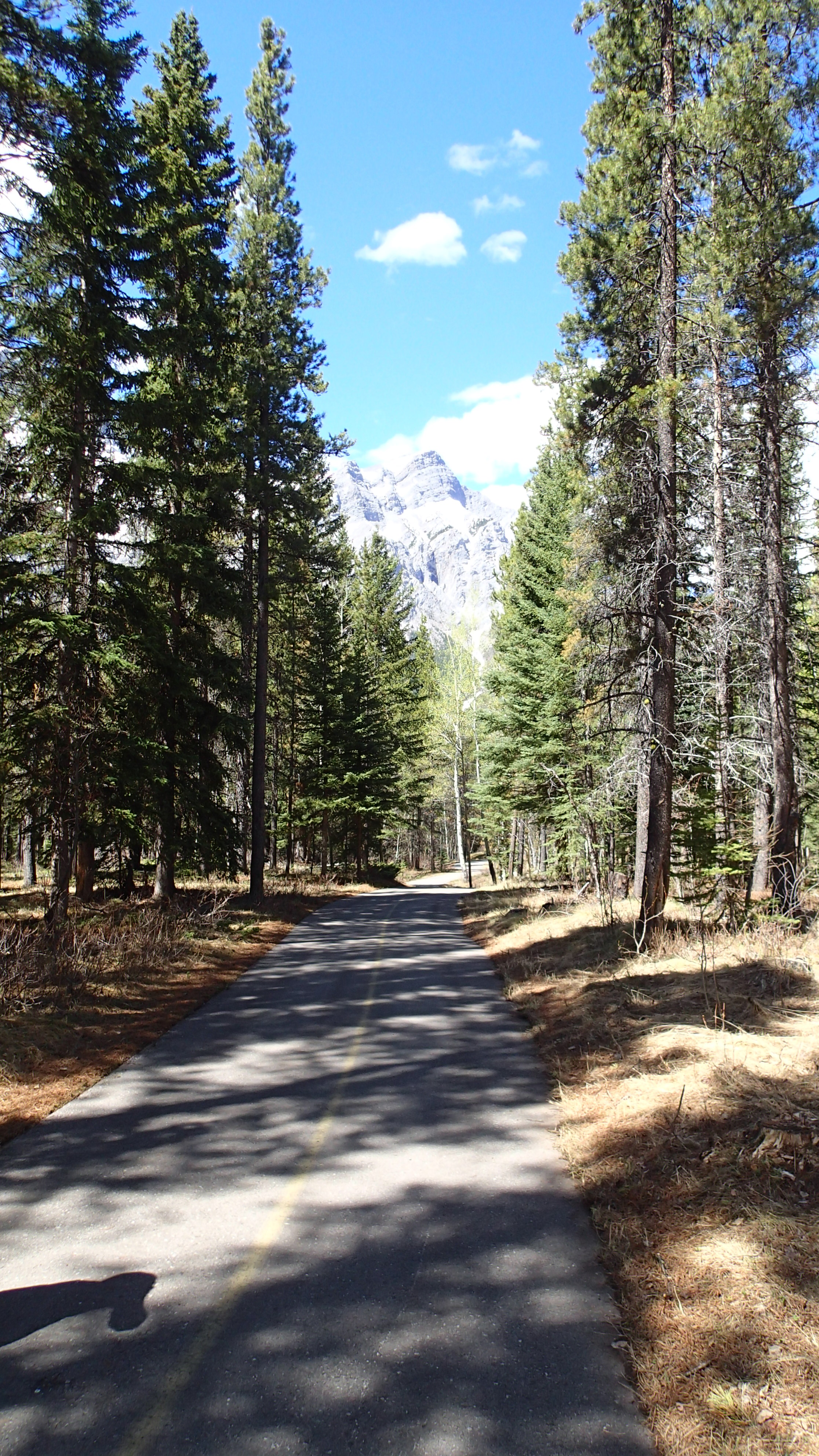
There are numerous places to access the Bill Milne trail. I chose ribbon creek because I figured there would be ample parking…. I was right (as usual) :).The Bill Milne bike path is an easy paved bike ride that is 20-25Km round trip. With only 120m of elevation gain (and loss) just about anyone can enjoy this path.Just to the right, hidden behind the trees is the Kananaskis Village, home of the 2002 G8 Summit… during which if you went for a ride on this path some friendly guys with guns would have interrupted your bike trip.
This pathway used to be called the Evan Thomas bike path, named after a creek it crosses (the Evan Thomas creek, clever, right?) In 2013 the creek broke its banks and the majority of this pathway was completely destroyed. Fortunately, they have almost completely repaired the path (including a number of new bridges) so it is nice new smooth pavement.
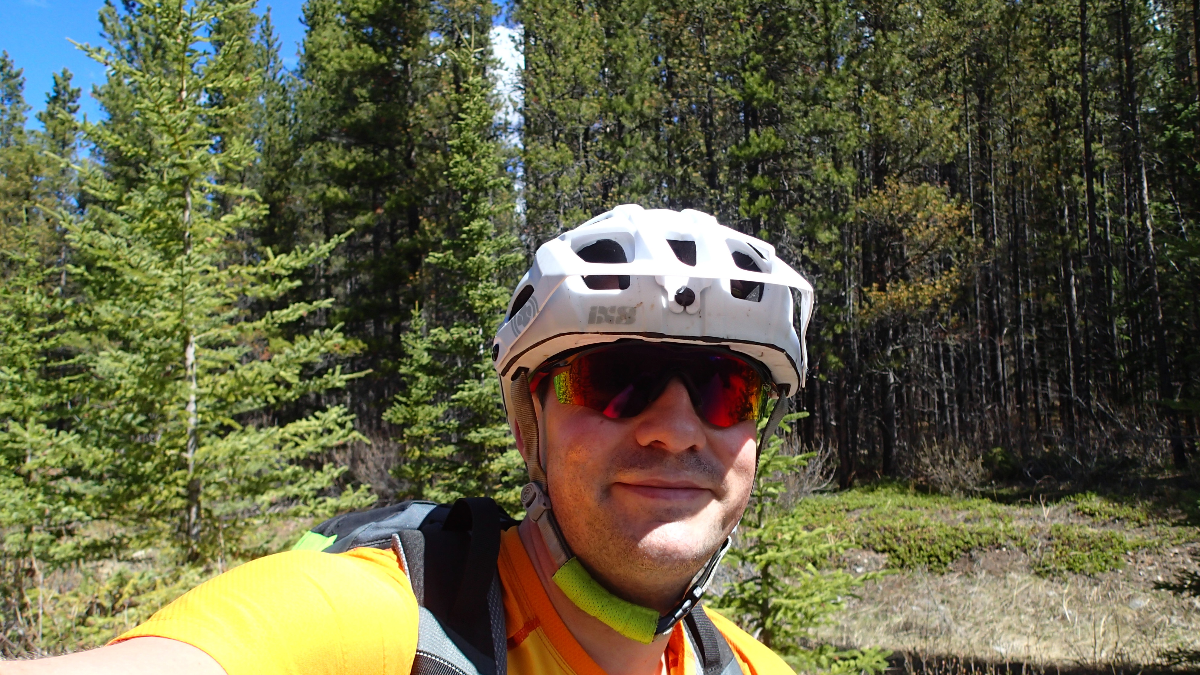
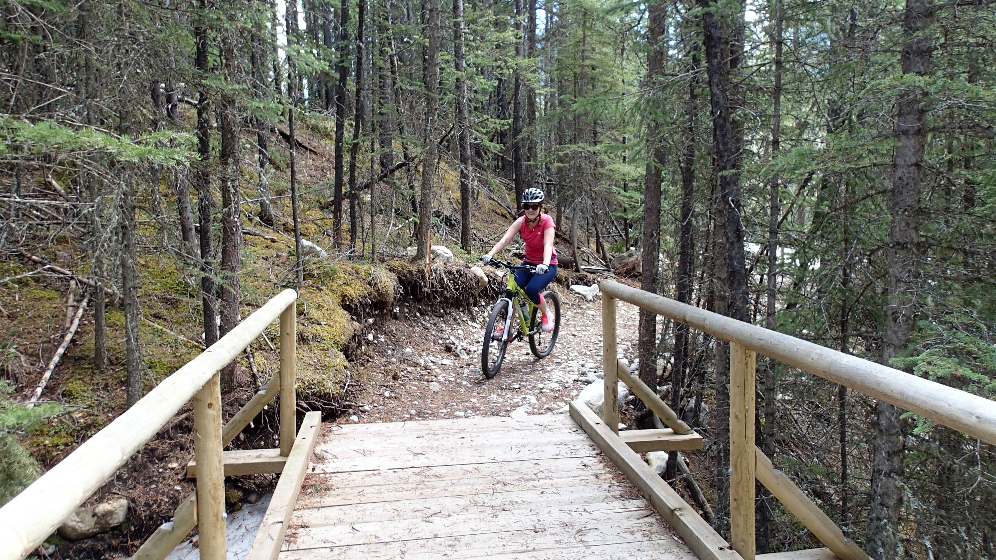
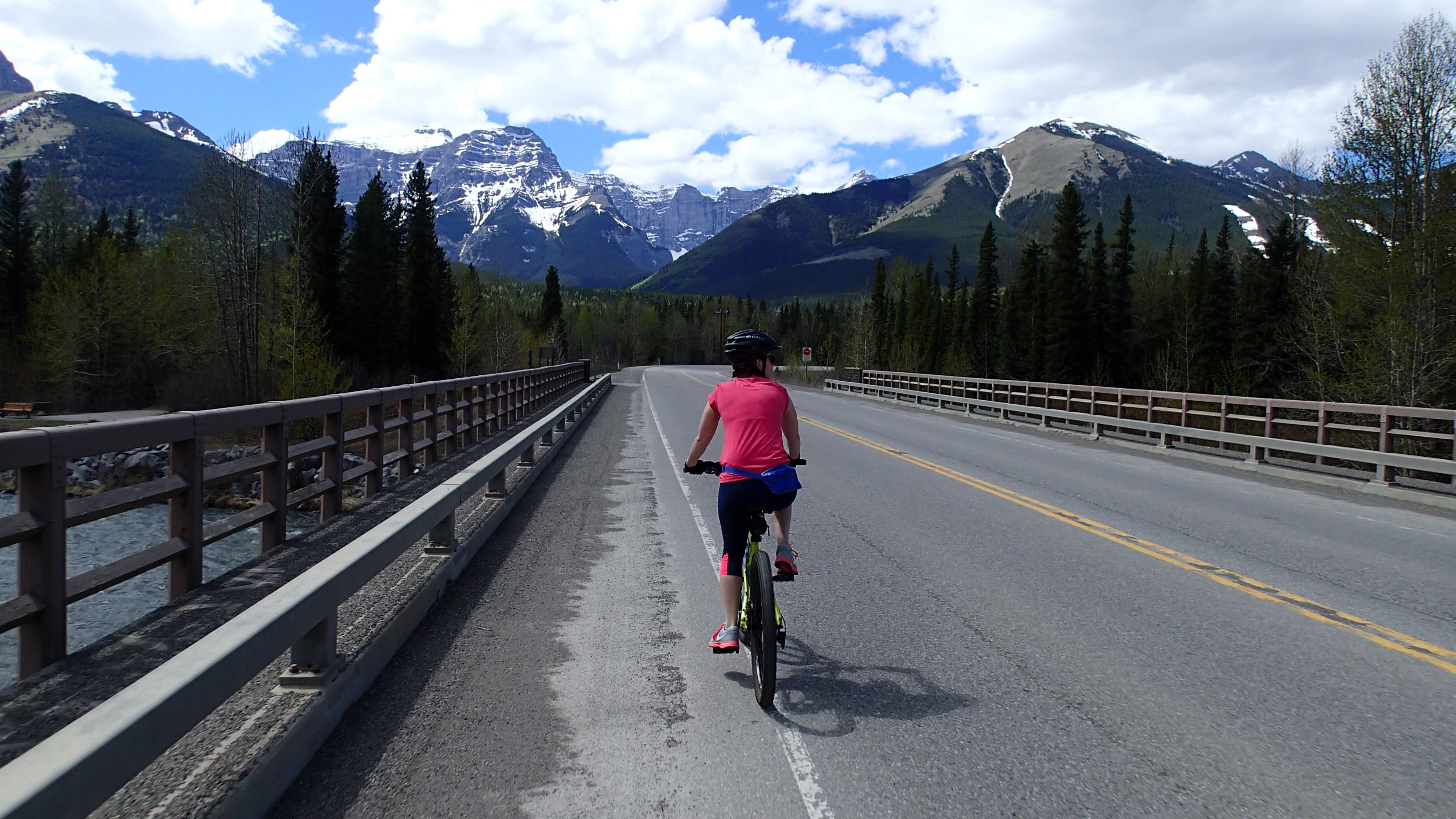
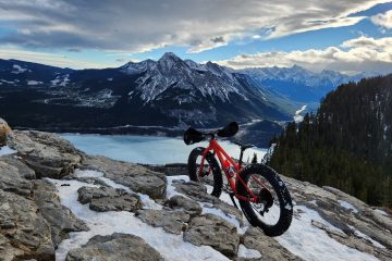
So who is this Bill Milne guy and why did they rename a bike path after him? Well Mr. Bill was a well known Calgary Architect. He played a major role in establishing the bike path system in Calgary (which is how I get to work some days). He is also frequently credited with designing the Calgary tower…. even though he didn’t (he came up with the initial concept but the actual design was a totally different company).But Bill Milne’s greatest accomplishment (in my humble opinion) was that back in the 1970’s Bill convinced Alberta Premier Peter Lougheed to jump into a helicopter for a tour of the Kananaskis area (which was just crown land at the time). Bill figured a tour of the area would convince Peter Lougheed to protect the area we now know as Kanasaskis and turn it into a provincial park. As they say, the rest is history.At the end of the pathway is Wedge pond which you can jump into if you feel like cooling off after your bike ride (and potentially join the boys choir).Traditional halfway (summit) selfie!!!Rather than take the pathway back we elect to take a different trail and make a loop. The trail is missing here as the entire area was wiped out during the 2013 floods and hasn’t been repaired yet.In contrast, this part of the trail has been rebuilt with a new bridge!As we head back we are rewarded with a nice view of Mount Lorette. You can see an ascent of that mountain here: Shawn Bags Mount LoretteThe final stretch heading back to the car while passing over the Kananskis River. Bill Milne passed away in 2008 at 84 years old. This pathway celebrates his legacy. I guess we should thank Mr Bill Milne for preserving this area for us and generations to come. Thanks Bill!


0 Comments